 |
| Manja Rock Art Shelter was formally known as the Cave of Hands. |
The Manja Rock Art Site is over in the Victoria Range in the remote western section of the Grampians National Park, so it requires a bit of effort to visit. Manja Shelter was formally named the Cave of Hands back in the day but now days is generally referred to as the Manja Rock Art Site or Manja Shelter. Aboriginal occupation in the Grampians dates back well over 20,000 years and with the nearby Deep Creek supplying water in all but the driest of times, I’m thinking that Manja Shelter would of made for a pretty good spot to watch the seasons change.
 |
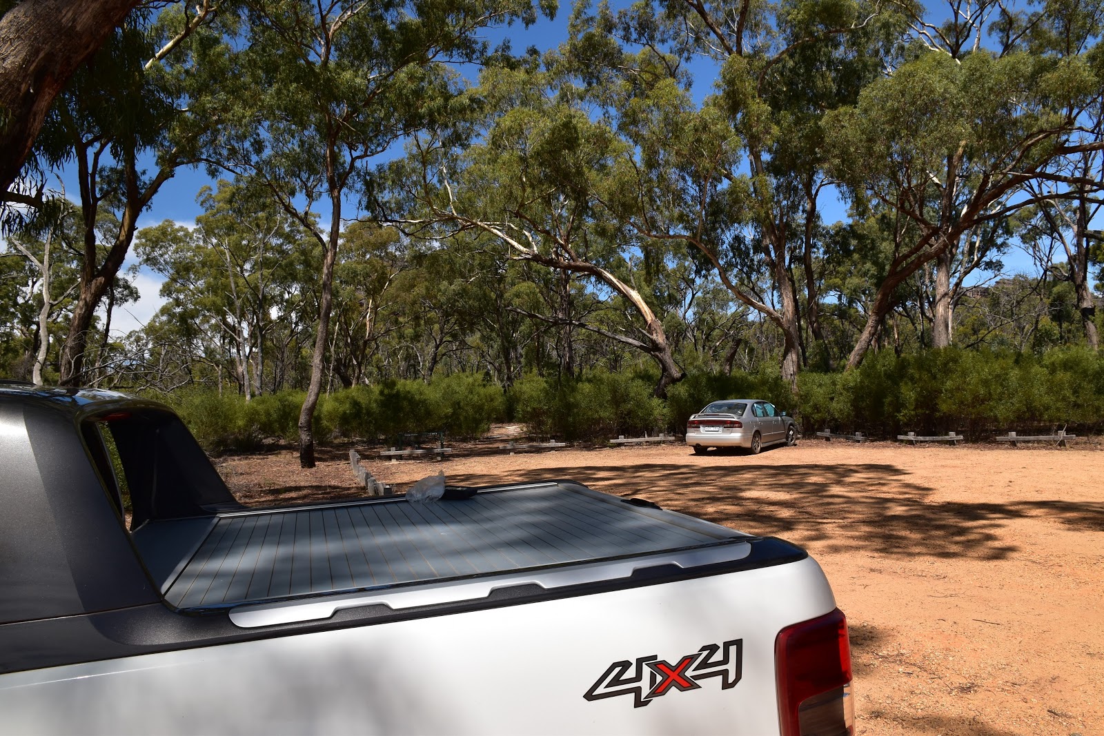
| Setting off in the late afternoon from the Manja Carpark. |
I actually dropped in on this visit on my way home from my Fortress Walk, having spent most of the day sweating it out scrambling around the Victoria Range it was nice to leave most of my gear in the ute and set off on this stroll with just my camera and GPS. Leaving the car park the good track headed straight into the bush, unfortunately the sparse tree covering allowing me bugger all shade this afternoon. On hot days (and on cold, wet days too) it’s easy to understand how the local indigenous must of really appreciated these sandstone shelters scattered around the Grampians, while this afternoon wasn’t super hot I was already looking forward to getting out of the sun at what I imagined would be a shady shelter.
 |
| Yep, it's only a short walk. |
The track climbs gently as it slowly curved around from east to south and headed to the shelter, crossing a long section of boardwalk on the way. While the track stays on the flat country there are plenty of rocky outcrops around here, any and all of them would be easy enough to leave the track and explore, although you’d want to be able to navigate if you venture far from the pad. Around 20 minutes after leaving the ute the track climbed a few steps and I arrived at Manja Shelter.
 |
The dry, open forest made for pleasant walking.
 |
The track passes by a few typical Grampians rock stacks.
 |
 |
| Manja Shelter is in the foothills of the Victoria Range. |
|
|
|
Like I mentioned earlier Manja Shelter was originally called the Cave of Hands and the north facing overhang features quite a few ochre hand stencils on it’s walls. The hand stencils were thought to imply ownership of the surrounding country. Unfortunately like a lot of these ancient rock art sites the authorities have had to fence the cave of to prevent dick heads defacing the art and the fence takes away from the ambiance a little …but what do you do?
 |
After a decent length section of boardwalk....
 |
....I climbed a bit more....
 |
....before arriving at Manja Rock Art Shelter.
 |
Unfortunately the custodians have had to fence off the art.
 |
Manja Shelter
 |
| Manja Shelter....if you look closely you can see where people have vandalised the art. |
|
|
|
|
|
After taking in the art (and enjoying the shade) for awhile I climbed up to a high point to check out the extensive view. The shelter is basically in the foothills of the Victoria Range so looking north from above the shelter I had the flat country to my left and the incredibly rugged topography of the Victoria Range to my right. From a distance the bush was still looking pretty good from up here but once back on the track at ground level it was easy to see things were getting a bit stressed as another long hot summer dragged on.
 |
The view from above the shelter takes in the Victoria Range in one direction....
 |
| ....and across the flat plains towards the Black Range in the other. |
|
Being a retrace type of walk the stroll back to the ute was pretty much more of the same really. Although with the track eventually curving around and heading west to the car park I was heading straight into the hot afternoon sun on the last little bit of the stroll. With the temperature in the low 30˚ I was pretty happy to douse myself under some cold water that I carry around in the back of the ute. Whilst my bush shower was a bit rough it always surprising how refreshed I feel after a quick shower after a hot and dusty walk. Suitably cooled down and refreshed it was time to make tracks for home after what had been a great visit to the Grampians.
 |
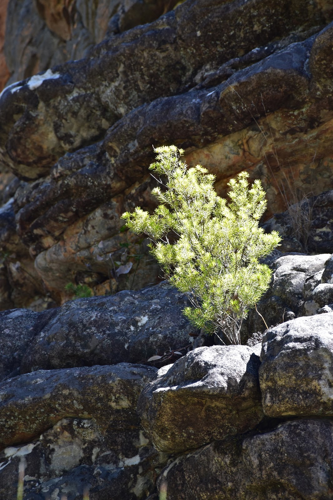
These surrounding rocky out crops are easy enough to access if your are competent heading off track.
 |
| I'm thinking this walking track is an old 4wd track judging by the gouges on the rock. |
|
The Dirt.
I walked around 2.8 kilometres and climbed 107 metres on this easy stroll. If you like your indigenous art (or if you are just looking for a nice easy bushwalk) then this is a walk to consider I think. The walk is suitable for children and the elderly although there are some steps to negotiate. For what it’s worth the only walking notes and map published describing this walk were published by Tyrone Thomas in his 80 Walks in out of print
80 Walks in the Grampians book and in the Daly’s
Take a Walk in Victoria’s National Park book. The Grampians are home to the greatest concentration of indigenous art sites in Victoria and a lot of the sites are only a short walk from various car parks to reach so there is no real excuse not to check them out. I wander sometimes how many of these spots still lay undiscovered by white people in the various mountain ranges that form the Grampians, I know of one site has just been rediscover up on the Mt Difficult Range while track workers were pushing through the Grampians Peaks Trail. With my almost total lack of faith in my fellow man I think it’s probably best that a lot of these spots remain hidden in the bush….yeah I know, sad but true.
Relevant Posts.
Mt Wudjub-Guyun (Hollow Mountain) & Gulgurn Manja Rock Art, Grampians National Park, 2018.
The Fortress, Grampians National Park, 2019.
Stapylton Ampitheatre, Grampians National Park, 2016.
 |
| Time to head home. |
 |
| Summer can be hit or miss in the Grampians, although a walk this short should be OK on all but the hottest days. |


No comments:
Post a Comment