 |
| Negotiating the convoluted cliff lines around The Fortress, the scenery more than made up for the effort. |
Like Lake Tali Karng and The Razor Viking, The Fortress is talked about in almost mythical terms by a lot of Victorian bushwalkers. Being in the remote Victoria Range on the western side of the Grampians it’s remoteness and tricky access has probably added to it’s mystic a bit too. While I’ve visited Lake Tali Karng and The Razor Viking quite a few times over the decades I’ve never shuffled my way up to The Fortress, the closest I’ve got is on a few 4wd trips to the region. With The Fortress a fair drive from home I headed up to Buandik Camping Ground the night before to make sure I got a reasonably early start on what was forecast to be a fairly warm summers day.
 |
| Buandik Camping Ground |
Emerging from my tent just after 7am this morning I was greeted by….fog. Hmm, I wasn’t expecting that. After packing up camp and scoffing down some brekky I motored a couple of kilometres down Harrop Track to the small, informal car park just over the dry Deep Creek. By the time I’d pulled on my boots and reset the GPS it was around 8am when I set off this morning, not quite an Alpine start but not bad for me.
 |
Overhead conditions were still a little dull when I set off this morning.
 |
Picking up this old fire track it was time to head off.
 |
| Yep, getting shot as I scrambled around the cliffs of The Fortress would certainly of put a bit of a dampener on my day. |
|
|
The Fortress Walk starts off a little deceptively as I followed an old, closed, sandy 4wd track, the old road ascending very gently up the valley of Deep Creek making for an extremely easy warm up. The fog that had greeted me this morning slowly burning off now and the changing light conditions made for a few interesting ‘atmospheric’ type of photos and added to what is probably the dullest section of the walk. After 15 minutes or so I arrived at the pad heading off south towards The Fortress and immediately the walking got harder as I started to climb a little more seriously.
 |
The old fire track heads up the open Deep Creek Valley.
 |
The navigation as all pretty easy, for the first few hundred metres anyway.
 |
Meeting the walking track I started the climb up a long spur.
 |
| The morning sun was slowly burning off the fog. |
|
|
|
I was now climbing up a very broad spur, with the climb being frequently interrupted as I stopped to take photos of the fog blanketed Deep Creek Valley below me. It’s a solid climb up here but nothing too hard, the pad itself is pretty easy to follow so navigation didn’t demand much of my attention and left me plenty of time to take in the ever expanding view, now all the way across to the Black Range. After half an hour or so of slogging my way up the track suddenly levelled and I found myself walking across some relatively flat terrain, I probably should of looked a bit closer at my map but I was thinking that I’d be slogging my way up hill all the way to The Fortress.
 |
Thankfully there was plenty of excuses to stop and take things in. This is looking back down over the Deep Creek Valley.
 |
The Black Range
 |
The pad is a little rough in spots, but still pretty straightforward.
 |
Looking north towards Billimina Rock.
 |
| Black Range |
|
|
|
|
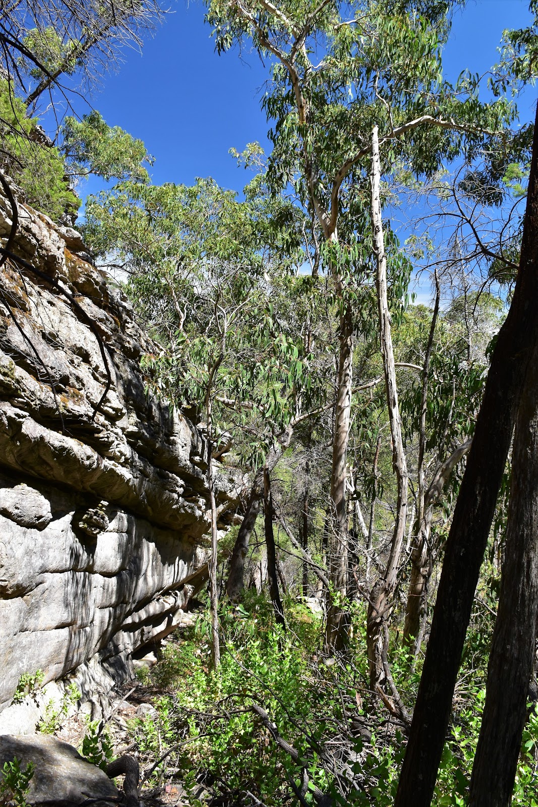
With the track levelling off a bit I started to pass close by some rugged rocky outcrops, a lot of these outcrops were close enough to the pad that I could easily scramble my way onto them for a view. After ten minutes or so of pretty pleasant easy walking, the track started climbing seriously again. Things are a little more rugged on the second part of the climb but the pad is still pretty good and there are even a few track markers, mostly in the spots where the pad crossed the extensive Grampians sandstone slabs. Once again there was plenty of opportunities to scramble up some nearby rock stacks, The Fortress now seeming very close at hand, although trying to take photos directly into the morning sun was not helping my photos unfortunately.
 |
The track levelled off a bit and I started to get a few views up to The Fortress.
 |
Looking east towards The Fortress...the early morning sun wasn't helping my photos unfortunately.
 |
Rocklands Reservoir was still blanketed with fog....
 |
....so I had to make do with another look at the Black Range.
 |
It's not all hard going up here.
 |
When I wasn't trying to take photos looking into the sun the light was actually pretty good.
 |
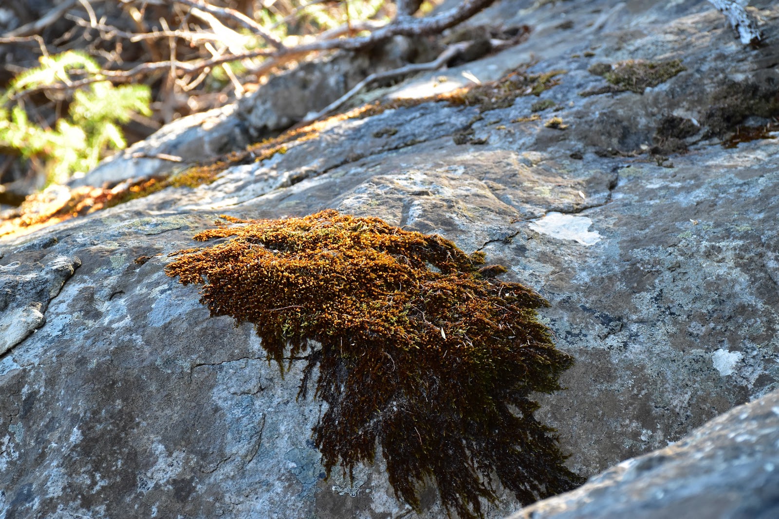
I didn't have to look far for something interesting to photograph.
 |
| The track passes close by a lot of these rock stacks and most of them are climbed easily enough if you want to check out the view. |
|
|
|
|
|
|
|
After one last grandstand view my pad started to drop steeply (yep, I should of looked at that map!) down towards a spot called the Oasis Bush Camp. This is the first camping cave in The Fortress area and looked like a nice enough spot, although the creek flowing passed the cave was barely a trickle today so maybe BYO H2O if coming up here in the warmer months. Speaking of warm, the day was really heating up now so I was pretty happy to sit in the shady overhang for awhile and enjoy this beautiful spot, I’m imagining this place would be very nice in winter with the creek flowing well and a bit of mist about the surrounding crags to add to the atmosphere.
 |
The Fortress is now getting a lot closer.
 |
The pad got a little overgrown in one or two spots.
 |
Looking north along the Victoria Range.
 |
 |
I'm about to drop down into that valley.
 |
The descent down to the Oasis Bush Campsite (the first cave) is a steep one.
 |
On reaching the almost dry creek I started to notice a few track markers.
 |
| The cave at the Oasis Bush Campsite. |
|
|
|
|
|
|
|
After a bit of a break it was time to shoulder my pack again and start climbing, after a few metres rock hoping up the creek the track headed off very steeply up a side gully and started to climb towards imposing cliffs of The Fortress. This short climb was probably the steepest of the walk, the loose track climbing steeply through sparse Eucalyptus and Cypress Pine, the pad almost under a long rocky overhang in one spot. Now while this climb was steep and rough it was also the last real climb of my walk in, once again something that I would of known if I’d looked at my map or read my notes!
 |
 |
After following the creek upstream for a few metres the track headed steeply up this side gully.
 |
| Climbing higher I started to get a few long range views again. |
|
|
Just as my thighs started to really protest I found myself on a fairly level pad walking through sparse sun drenched forest, sweet. It was about now that I decided to consult my notes and I soon realised that I was almost at my turn around point. I was now passing just below the summit cliffs of The Fortress as I made my way around to the imaginatively titled Fortress Cave Bush Campsite, passing Tea Tree Camp on the way. Once again there were many opportunities to leave to pad along here and walk out onto rocky outcrops that allowed grandstand views over the incredibly rugged Billywing Gorge. Actually it’s not just Billywing Gorge that’s rugged around here, in almost every direction I was getting views of tortured and convoluted topography, walking off track around here would be immensely rewarding but also insanely hard I’m thinking.
 |
The Fortress
 |
The Fortress...I was going to have my work cut out for me getting up there.
 |
I'm glad I wasn't camping here when this one speared into the ground.
 |
Looking north along the Victoria Range.
|
|
|
|
As it turns out I was about to find out how insanely hard off track walking would be, as after a fairly cursory look at Fortress Cave Bush Campsite (nice camping cave, but drip at southern end was bone dry today), I decided that it would be a good idea to attempt to get to the summit of The Fortress, well I’m sure it was a good idea in some universe. Back in my universe though things were about to get pretty tough. After a short break in the shade at the cave I set off back down the track, all the while looking closely for any breaks in the imposing cliff line, now on my left.
 |
| Fortress Cave Bush Campsite |
 |
| All right, strap yourself in and we'll see if I can get to the top today? |
It’s a little hard along here to know exactly which of the imposing buttresses towering above me was actually The Fortress. Arriving back at Tea Tree Camp I decided that I may as well climb up for a bit of a look, finding a narrow, rough and scrubby gully I made my way up until progress was stopped by rock walls hemming my in. After climbing onto a ledge I decided that my walking poles were going to be more of a hindrance to me now. Without my poles I now started what I’m guessing a rock climber would call a very easy climb, but for a bushwalker in walking boots it certainly kept me focussed. Eventually my very exposed scramble topped out, the good news being that I could easily see the cairn marking the summit of The Fortress not very far away, the bad news being that between me and the summit were numerous deep chasms that I wasn’t going to be able to easily get across, on to plan B!
 |
This was the end result of my first attempt...I could see the cairns on the summit but there was way too many chasms between me and the top.
 |
| I had to drop back down here. To give you a sense of scale I've left my walking poles on a ledge almost directly below me (near the shadow), although you'll have to look very closely to see the poles as I was a long way up! |
|
Plan B involved me scrambling back down from my precarious perch, retrieving my poles and then following the track a little further north west until I found another gully that I was hoping would get me a little closer to the summit. The second gully was a little wider but no less scrubby unfortunately. Climbing my second gully I arrived on the crest of the massif at a large cave, however looking around it was obvious that there was still a lot of work involved to access the summit from here. With the time getting close to lunch time and the temperature going up as my water supplies diminished, my Feral mojo was starting to get a bit low now. So anyway I squibbed it a bit now, instead of wading back into the scratchy scrub and heading towards the summit I climbed open rocky country in the opposite direction, after jumping a chasm I arrived at a high point of sorts. Looking towards the summit I could see that I was very close, I’m thinking I may even have been on the right track (so to speak). A quick risk versus reward calculation taking in my water situation and the hot day left me with only one conclusion though, yep, it was time to start my long retreat back to the ute.
 |
Plan B
 |
I'll leave that one for the rock climbers I think.
 |
I met the crest of the massif at this cave.
 |
Climbing away from the actual summit I headed for a high point.
 |
The rugged topography of the Victoria Range from near the Fortress summit.
 |
The view out across the flat plains over the Black Range to Mt Arapiles.
 |
| That's the top...close but no cigar today though. |
|
|
|
|
|
|
Dropping back down to the cave on the crest I grabbed a quick drink in the shade before shouldering my pack and setting off again. After safely descending my scrubby gully I met the track again and the walking was suddenly a whole lot easier. Before dropping back down the steep gully towards the first camping cave I took the opportunity for one last view from a nearby rocky outcrop. Not only was the scenery pretty sweet from this lofty perch but I was also able to watch an aerial show put on by 3 Wedgetail Eagles, always a very good thing. A couple of these eagles appeared to have a nest on a ledge on another huge rock buttress slightly below me and I was able to watch them come and go from their lofty perch as I enjoyed a bit of a break.
 |
Heading back down to the track I had a few of my favourite things to negotiate, including chasms to jump....
 |
....and caves
 |
Meeting the track again I checked out one more informal lookout.
 |
The view was nice enough....
 |
....but the highlight was watching some Wedgetail Eagles soaring on the thermals. Two of the eagles are just visible on a ledge in the centre of the photo.
 |
| Sweet! |
|
|
|
|
|
Watching the eagles was a pretty good way to end my time up at The Fortress I’m thinking. The track now dropped steeply back down to the first cave and to be honest it was almost as hard descending this loose rocky track as it had been climbing it, still it wasn’t too long and I was sitting back in the shade under the overhang at Oasis Bush Campsite. It’s a bit of a shame that some dick heads have defaced the cave here with hand prints, there is a water soak full of ochre coloured mud near the cave and some of my bushwalking (or rock climbing) mates have decided to channel their inner aborigine and dip their hands into the mud and print them on the walls of the cave. As far as indigenous hand stencils go the drop kicks forgot the skilful ‘stencil’ part of indigenous works and just did the kindergarten standard hand print. Shit, I can’t even blame my 4wd mates for this!
 |
Dropping back down the steep gully to the Oasis Bush Campsite.
 |
I'm about to drop down to the first cave.
 |
I can't even blame my 4wd mates for this.
 |
| Dipping your hand into this and slapping it onto the wall of the cave doesn't appear as though it would take much skill. I think it is all a little belittling of our indigenous culture really. |
|
|
|
Leaving the cave I set off in earnest for the ute again. Almost straight up I was into another short but very steep climb, although thankfully for my quads this was the last one for the day. Once on top of the climb I didn’t muck around too much as a I dropped back down to the ute, giving most of the rocky perches that I’d checked out on the way up a miss. I did stop a couple of times to check out the view over to the now fog free Rocklands Reservoir, Black Range and Mt Arapiles though.
 |
After leaving the shady cave I had one last steep climb before my long descent.
 |
Navigation was all pretty straightforward on my walk back to the ute.
 |
| Rocklands Reservoir had shed it's blanket of fog. |
|
|
Eventually my descent started to ease a bit and I rejoined the old 4wd track. Turning left I trudged my way along the soft sandy track back to the car park, this section was certainly a lot less enjoyable in the afternoon heat than it had been this morning. Arriving at the ute I threw my gear in the back and headed off on my next adventure. The temperature display was reading 31˚ and I reckon that’s as hot as I’d want on this walk, with all the bare rock walking and a sparse tree cover I really felt the heat up here.
 |
I was starting to look for any shade I could get now.
 |
The sandy pad meant that I was getting close to the old 4wd track.
 |
| Indeed! |
|
|
The Dirt.
I walked 16.5 kilometres and climbed 988 metres on this hard stroll although don’t forget that I mucked around a fair bit trying to get to the actual summit. The normal Fortress Walk is hard enough but the summit climb is tough….and if I ever get to the top I’ll let you know how tough;) This walk traverses some very rugged topography and I was a little surprised how little scrambling was involved, the use of my hands only really require on a couple of occasions and even then that is more because I’m a senior citizen and a little cautious. As I waffled on about at the start of this rambling post The Fortress is a bit of a classic in Victorian bushwalking circles, so it’s no surprise that it’s been written up by a lot of bushwalking guide book authors, Mt Tempest, Mr Thomas, the Chapman’s and the Daly’s have all published this walk in one form or another. I used the SV Maps Southern Grampians sheet on this stroll along with Mr Tempest’s version of the notes out of his Daywalks Around Victoria book. Keep in mind that there is a good chance that there will be little surface water around up here in late summer and in winter things can be very chilly, they even get the occasional dusting of snow.
Relevant Posts.
Mt Arapiles Circuit, Mt Arapiles-Tooan State Park, 2018.
Mt Wudjub-Guyun (Hollow Mountain), Grampians National Park, 2016.
The Seven Dials, Grampians National Park, 2015.
 |
| Another great walk coming to it's end. |
 |
| Yeah but it was a hot 31˚ ! |


No comments:
Post a Comment