
I thought that this little walk batted above its weight a little.

Main Ridge Conservation Reserve.

There is only really room for a couple of vehicles at the start of this stroll.


A fair number of trees had come down in our recent storms.
Setting off this morning from the small car park Sam and I initially followed an old road alignment as we headed into the park before branching off to the left and dropping down a grassy walking track. Like a lot of areas of Victoria this little park had copped a beating by some extreme weather recently and dropping down this walking track we saw plenty of evidence of the storms as we had to negotiate quite a few downed trees. Apart from having to head off piste for a couple of short stretches to pass by the fallen trees the soft and grassy walking track made for some very nice walking, as we firstly dropped down into a broad gully, before following the creek downstream for 15 minutes or so.

After swinging left off the old road alignment we dropped down this nice walking track.

Like I said...there was a few trees down!

Sam's doing a little off piste work as we get around another fallen tree.

Apart from the fallen trees this walking track made for great walking.

Somewhat surprisingly the surrounding rural land was rarely in view.
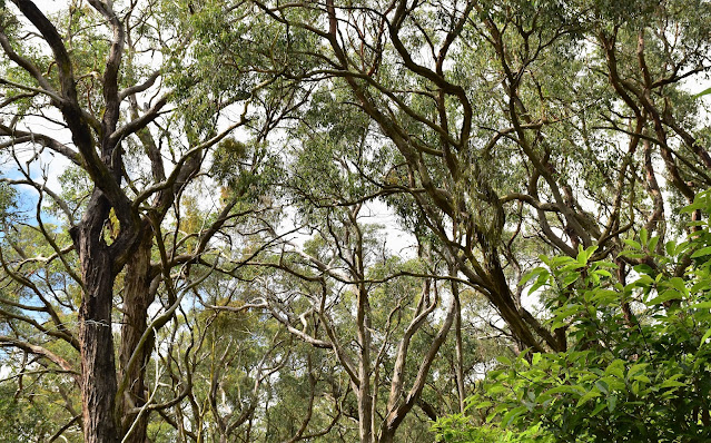
Approaching the south-eastern park border we left the ferny creek and started what was a fairly long but also fairly gentle climb up to rejoin the old road alignment, now near a small car park on the quiet Barkers Road. After we left the creekside environs we found ourselves walking through some beautiful Stringybark forest and while I can sometimes get a little jaded when it comes to forest walking I really did enjoy this beautiful walking. I'm guessing that this open Stringybark forest is probably fairly typical of what the native vegetation consisted of on the Mornington Peninsula before the arrival of the European settlers - and the numerous vineyards that now dot the landscape down here. Once back on the old road alignment it was just a matter of meandering our way north along the moss covered old road for 15 minutes back to the ute.

It was fairly ferny walking down the shallow valley.

We've just started the climb back up to the ute.
Main Ridge Conservation Reserve.

The climb back up was pretty gentle...

... gentle enough for an old man!
The Dirt.
According to my GPS we walked around 2.9 kilometres and climbed about 88 metres on this easy stroll. Now while a lot of the little reserves that I've checked out during our Corona times have been a little underwhelming this one was one of the more enjoyable I think. The flora in this little park is a particular highlight and even though the park is very small for the most part this route stays away surrounding rural land. I used the Alltrails map along with my GPS maps this morning although I think Google Maps would also get most people through safely. The parking off Mornington - Flinders Road is really limited to two vehicles so if it's full then maybe consider starting the stroll at the gate off Barkers Road.
Relevant Posts.

Back on the old road alignment.

If anyone wants an even easier stroll then just walk the old road.

The end is in sight.


No comments:
Post a Comment