 |
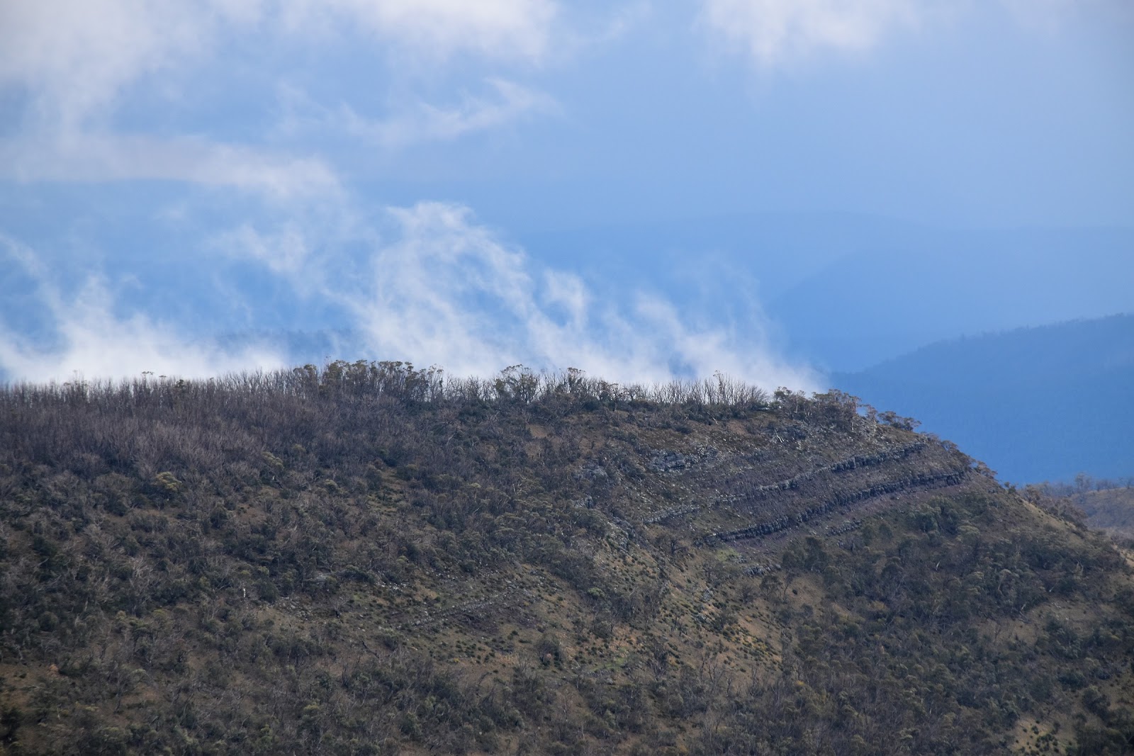
| Looking back towards Square Top from Mt Clear. |
My night up on Nobs Track started off pretty windy but thankfully the wind eased off a bit towards the middle of the night, unfortunately the rain took its place, still the pitta patter of rain on the fly was better than it being buffeted around in the wind. I had another human encounter last night too, well kind of….I was just dozing off around 9:30 pm when over the noise of the tent flapping and trees rustling in the wind I thought that I could hear a motor. With Nobs Track still locked up for winter I assumed that I was imagining it but sure enough after a couple of minutes the tent lit up and a 4wd rattled by (I was camped around five metres from the track), judging by the rattling in the tray I’d say it was a deer hunter. Being almost asleep I didn’t bother getting up and my 4wd mate didn’t stop, I’m thinking that seeing that he was up here illegally he probably wasn’t looking for a chat anyway! Twenty minutes later he rattled his way back past me and all was quiet for the rest of the night. Waking after my somewhat eventful night I was greeted by the occasional shower still scudding through although thankfully they cleared up while I was eating brekky and packing up camp.
 |
The day started off pretty easily, cruising along Nobs Track in the sun....that's The Nobs in the shade in the distance.
 |
| Views are a bit of a feature of the AAWT along this section. |
|
So once again I set off today under a largely blue sky with my Feral Mojo feeling pretty good. It wasn’t just the blue sky that had me feeling sweet this morning, the AAWT was now into a long section of high ridge walking that started yesterday at Mt MacDonald and wouldn’t really finish until I dropped off The Viking in a few days time. Shuffling along Nobs Track this morning I was heading for The Nobs and with them easily visible in the middle distance through the sparse Snow Gums there was no navigational conundrums either. Reaching an AAWT marker the AAWT left the hard surfaced Nobs Track and headed up the soft grassy slopes of The Nobs. Once off Nobs Track the AAWT once again gets a little faint but there are enough markers and a rough pad that is generally easy enough to follow, oh yeah and as I was more or less tracking a high ridge I couldn’t really get seriously bushed.
 |
Nobs Track was still officially closed for winter.
 |
The Nobs.
 |
| Once leaving Nobs Track here the AAWT is more your grassy pad. |
|
|
The AAWT sidled east just below the northern most peak of The Nobs before the pad abruptly dropped down to a high saddle to the east, if you find yourself on, or getting close to the southern peak of The Nobs you’re not on the AAWT anymore. Once located the AAWT is pretty easy to follow as it drops steeply, initially through the Snow Gums and then a bit lower down a few grassy openings that would make for nice camping spots. Shuffling along enjoying the beautiful walking I was keeping a bit of an eye on the dark clouds building up to the south west, it looked like I’d be getting a bit damp again. Making my way down the ridge I reached High Cone Camp, now that all sounds very flash but I’m talking a flat area in a high saddle on a snow plain, apparently with some water available in the headwaters of a creek off the ridge to the south (although I can’t confirm that), I’m not talking Overland Track style camps here.
 |
The views increased as I climbed up towards The Nobs.
 |
The AAWT sidles to the left of the north peak of The Nobs.
 |
If you get to the southern peak (in the middle distance) you are not on the AAWT anymore.
 |
| Heading towards High Cone the AAWT crosses a lot of these small snow plains. |
|
|
|
Passing through the camp site in the gathering gloom I was heading for my next AAWT milestone, High Cone. According to my map and notes the AAWT actually sidles High Cone, so as I climbed away from the saddle I was looking for a sign of a pad contouring the steep northern slopes. Well I did find a pad, well actually it was probably a series of animal tracks really but I didn’t spot a AAWT marker until I resumed my ridge walk on the other side of High Cone. Here’s another Feral Tip, when you reach a cairn on the open red gravel shelves climbing High Cone don’t start to sidle, just keep climbing over the top, sure it would be a little more climbing but the sidle is rough, a little scrubby and is on pretty steep ground making for pretty hard, slow walking.
 |
Mt Clear in the distance.
 |
| This is nice walking. |
|
Reaching the high saddle between High Cone and Square Top I again picked up a reasonable pad, once again complete with the occasional AAWT marker. Unfortunately the clouds that had been stalking me for most of the morning caught me on the climb up towards Square Top, I was now in a proper grown up storm complete with hail and thunder, bugger. After climbing for awhile in the gathering tempest I decided to stop for awhile and take a bit of cover, managing to cram myself under a bit of a rocky overhang and at the same time using my big industrial plastic bag I sat out the next thirty minutes as the worst of the storm passed over head, managing to stay largely dry. With the worst of the storm gone through I emerged like a Feral Wombat to continue my climb up Square Top. Once again the AAWT is marked as sidling Square Top but after the High Cone sidle I decided that going over the top of Square Top would be the best option….and it was the right call. It looks like the AAWT has actually been re routed along here to now officially pass across the top of Square Top (there has always been a rough pad) as now there is a well marked and cut track through the Snow Gums across the flat plateau like top of Square Top, happy days!
 |
Mt Clear from Square Top.
 |
Looking back towards High Cone from Square Top.
 |
There is a well marked and clear track over Square Top.
 |
I'm still heading through areas that were burnt badly in the 2000's, actually I will be for many, many days still. This is up on the plateau like top of Square Top.
 |
 |
| Hmm, this doesn't look good. |
|
|
|
|
|
Dropping off the northern end of Square Top I once again descended into a high saddle, this one separating Square Top from Mt Clear. Mt Clear at 1695 metres was the highest mountain that I’d climb today and I soon found myself climbing past a few residual drifts of snow, once again the AAWT is a little indistinct up here although there are enough markers and cairns around that getting totally lost wouldn’t be easy. After climbing steeply the AAWT crosses the beautiful broad open top of Mt Clear, unfortunately the sleet and cloud that was now passing through largely stopped most of my views today. This was actually the navigational crux of todays walk, the open Snow Gums and Snow Plains on the summit combined with a vague pad and limited visibility meant that finding the correct spur to descend down required a bit of concentration.
 |
Climbing Mt Clear the weather started to set in for good.
 |
 |
Climbing Mt Clear, it was time to put the DSLR away for awhile.
 |
Climbing Mt Clear in the sleet.
 |
There were a few lingering snow drifts in some of the gullies on Mt Clear.
 |
There are some un burnt Snow Gums too....sweet!
 |
| Mt Clear. |
|
|
|
|
|
|
Once I’d identified my descent route I stopped for a few minutes on the leeward side of the mountain to text Sam, happy once again to get a signal. Now while I was pretty happy about getting in contact with Sam I wasn’t overjoyed at my present situation, the sleet that I copped going over Mt Clear was now giving way to steady cold rain as I descended. With the rain now set in I dropped steeply down the AAWT to meet the very old closed Mt Clear Spur Track, I would now follow this old grassy firetrack all the way north to tonights camp at Chesters Yard. After the initial very steep drop off the side Mt Clear the AAWT is pretty easy once on the old firetrack and I trudged my way through the rain, climbing gently towards camp. Once again I wasn’t exactly sure what Chesters Yard would look like and I was certain that it wouldn’t have any formal identification on the ground so my damp walk was punctuated with a couple of stops on likely looking snow plains as I hunted around a bit to see if I’d arrived out of the gloom at my camp. After a couple of false starts I arrived at an obvious spot complete with a spring bubbling out of the ground and a couple of small grassy terraces to camp on. It’s getting a little repetitive but once again it was tent o'clock straight after dinner tonight, happy to be dry and warm out of the elements at last.
 |
The view from Mt Clear was great even in the inclement weather.
 |
The open summit of Mt Clear required a bit of careful navigation today.
 |
 |
 |
| Looking back towards the summit of Mt Clear from near the top of my descent spur. |
|
|
|
|
The Dirt.
I walked 16 kilometres and climbed 910 metres on another hard day on the AAWT today. My stats for my ten days so far on the AAWT are 163 kilometres with 7730 metres of climbing. I had enough water left over to get me to Chesters Yard today so I didn’t bother to hunt around for water on the way over, Mr Chapman identifies some likely spots in his notes but you’ll have to drop off the ridge a bit. There are a multitude of camping options along todays route, the many small snow plains all would make for nice camping, finding water is the issue though. Navigation wise today starts and finishes pretty straightforwardly, but the section after leaving Nobs Track to meeting Mt Clear Spur Track requires a bit of attention, there are markers and a rough pad for most of it, but the traverse across the top of Mt Clear and picking the correct descent ridge require particular care…especially if the weather is less than optimal. I got a Telstra mobile signal on Mt Clear (there would probably be a signal quite often today but I didn’t turn the phone on). I used Mr Chapman’s notes and maps as well as carrying the SV Maps
Buller -Howitt Alpine Area 1:50,000 sheet and Rooftop’s
Jamieson-Licola Adventure Map incase I need an overview.
Relevant Posts.
AAWT, Day 1, October 2017.
AAWT, Previous day, October 2017.
 |
| This is the spur I was looking for to get me off Mt Clear. |
 |
| Following Mt Clear Spur Track towards Chesters Yard. |
 |
| Chesters Yard. |
 |
| There is a beautiful peaty spring bubbling up out of the ground at Chesters Yard. |


No comments:
Post a Comment