 |
| Woodlands Track, 5 minutes from the end of my walk. |
Once again I’d slept pretty well last night at Lake Mournpall and with a fairly short day ahead of me today I lingered a little over breakfast this morning. I was sharing this camp with a few car based campers and the odd one or two dropped by for a chat with the Feral looking bloke with the small tent and no vehicle! With the thought of a hot shower and soft bed beckoning, not to mention seeing Sam after more than a week, I was already looking forward to getting home tonight. All that said, I decided to lengthen todays walk a little by looping out to Warepil Lookout, yeah I’m a glutton for punishment.
 |
Breakfast at Lake Mournpall was a relaxed affair this morning.
 |
| Leaving camp I crossed Mournpall Track and headed left towards Warepil Lookout. |
|
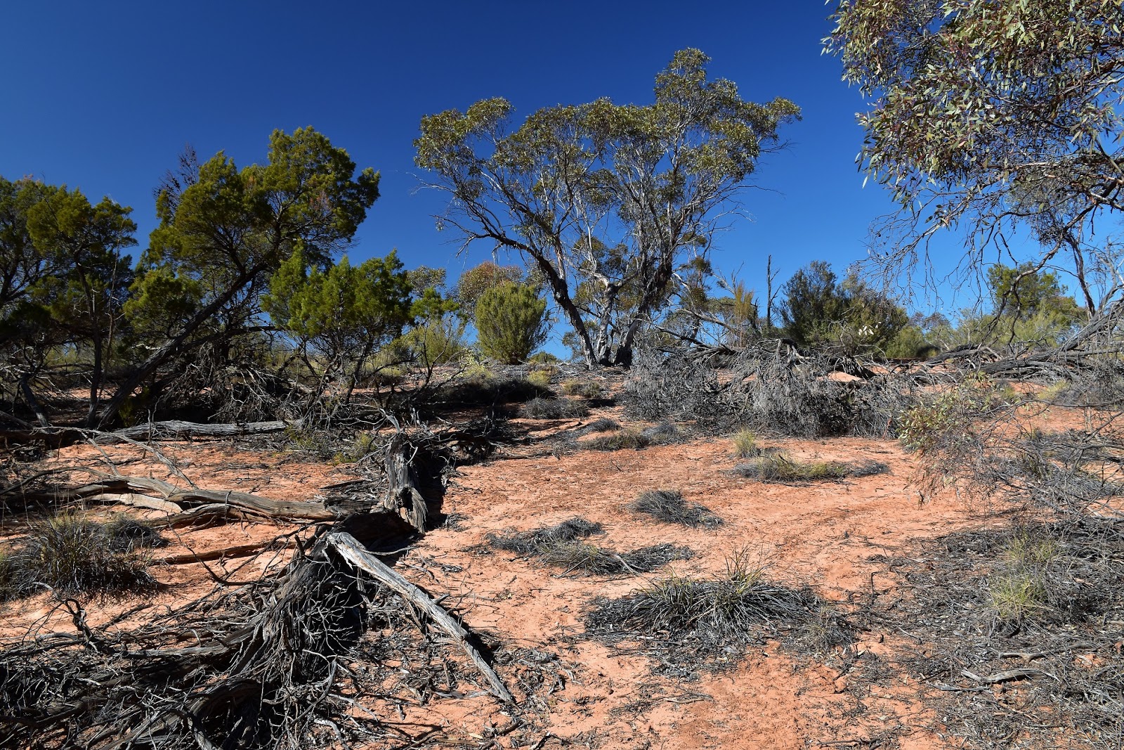
After enjoying my leisurely breakfast I grabbed my pack and shuffled off into the red sand dunes. As I mentioned earlier instead of heading straight back to Lake Hattah along Mournpall/Camel Pad/Woodlands Tracks, I decided to do a loop out into the Mallee scrub and visit Warepil Lookout. The walking track to Warepil Lookout heads into the desert away from the lakes system and is pretty much a red sand walk the whole way. After crossing a low dune the track drops down slightly and I once again passed through the Kangaroo Fence, once west of the fence it was just a matter of crossing more dunes that gradually got larger the further from Lake Mournpall that I went. As I crested each dune I’d gaze west across the sea of green Mallee Trees, sure that I’d see the lookout, in reality I was only metres from the tower when I first spied the little tower.
 |
It was mostly red sand walking today.
 |
 |
Passing back through the Kangaroo Fence on the Warepil Lookout Track.
 |
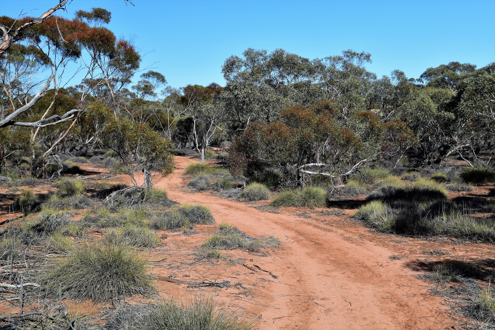
The walking tracks are well sign posted and marked today.
 |
Heading away from the lake the Mallee Trees and Spinifex start to take over.
 |
 |
| Every dune that I climbed I imagined that I'd see the lookout, but in reality the lookout is pretty well hidden until you are almost on top of it. |
|
|
|
|
|
|
Dropping my pack I grabbed a bite to eat and some water and climbed up onto the lookout tower, the roof providing me with a little shade as I sat drinking my luke warm water gazing out over the fairly featureless terrain. The lookout does give enough elevation to be able to see across the the lakes system, although the only real give away to the more well watered areas are the larger trees that I could see poking out above the Mallee Trees. Looking west you can make out some telecommunication towers near the Calder Highway at Hattah but beyond that it’s just an endless canopy of Mallee covering a sea of rolling dunes.
 |
My last climb up to the lookout.
 |
Warepil Lookout
 |
 |
It's a pretty featureless landscape out here, the smudge of dark green trees probably signify one of the lakes.
 |
| Looking west things are even bleaker. |
|
|
|
|
Leaving Warepil Lookout I decided to walk a couple of kilometres along the Old Calder Highway to intersect with Camel Pad Track where it crossed the dirt road. Maybe it’s due to my truck driving history but I don’t mind walking short sections of these bypassed roads and highways, my mind easily imagining myself rattling through the sand and dust in some rough as guts old truck decades ago. The walk down the Old Calder Highway was less than 2 kilometres this morning and I soon found myself meeting the Camel Pad Walking Track and crossing back through the Kangaroo Fence again at Woodlands Gate.
 |
From Warepil Lookout I dropped down to the Old Calder Highway.
 |
It was a pretty easy walk along the old highway.
 |
I picked up Camel Pad Track where it crossed the Old Calder Highway.
 |
| The Kangaroo Fence at Woodlands Gate on Camel Pad Track. |
|
|
|
This next section of my walk was probably the softest sand walking that I’d experienced over the three days that I’d been on my journey. I can’t imagine too many people walking Camel Pad Track really, it’s basically a walking access track from the Calder Highway at Hattah but from what I’ve seen up 99.99% of the parks visitors come with their own transport and drive into the park. Whatever the reason for the soft sand is, it was slow few hundred metres walk east until I met up with Woodlands Track. Stopping to take a photo at the track junction I had my first interaction with any other walkers that I had on the track since leaving Lake Hattah three days ago. Sitting on an old log here I met a lovely couple out taking bird photos, apart from a couple of 4wd’s rattling passed me when I was over near the Murray River, I hadn’t shared the tracks with anyone.
 |
This short stretch of Camel Pad Track probably gave me the softest sand walking of my whole three days of walking.
 |
Mallee Tree
 |
 |
| Meeting Woodlands Walk my walk was almost over. |
|
|
|
After having a chat with my new birdy friends I set off on the last section of my walk back to the Hattah Lakes Visitor Centre. This last section of my walk along Woosdlands Walking Track was another surprise, I’d seen this track many times but had never walked it, having it pegged as a bit novice’s track. With Woodlands Track part of the link of tracks that I’d need to use to get back to the ute I had no choice but to walk it today and like I said it was a surprise. I was thinking I’d be walking through Mallee covered dunes but in actual fact Woodlands Walking Track crosses a series of depressions with a couple of them holding good water at the moment. The good water not only encouraging plenty of birdlife and wildlife but the more reliable water also allowing some more larger trees to grow. It was only around 2.5 kilometres along Woodlands Walking Track before I emerged from the scrub for the last time back at the visitor centre car park and finished my walk. After a quick bush bath beside the ute I dried myself off, jumped in and headed off on the 6 hour drive home, feeling very content that I’d finally got around to a walk that I’d long thought of.
 |
 |
Woodlands Walk crossed a couple of these shallow depression that were holding a bit of water on this visit.
|
|
The Dirt.
I walked 10.5 kilometres today and climbed 83 metres on what I’d class as an easy-medium days walking. Unlike the other couple of days on this walk, today’s walking was mostly along walking tracks with only the couple of kilometres along the old highway being on a road. There are tanks at both Lake Mournpall Campground and the Hattah-Kulkyne Vistitor Centre (and down at the Lake Hattah Camp Campground). The walk today was fairly short but it was also along what were probably the softest sandy tracks of the three days. I used the Meridian’s Hattah-Kulkyne Map, along with the Parks Vic notes and the notes and map out of 2001 edition of Lonely Planet’s Walking in Australia.
Over the full three days of this trip I walked 68.5 kilometres and climbed 748 metres. The walking conditions vary a fair bit over the length of this walk, but because of the long day with some off track adventure on yesterday’s leg I’d have to rate the Hattah-Kulkyne Circuit as a hard walk, well it was for me anyway. The walk as I did it over the three days mostly follows very quiet 4wd tracks, with about half open to the public. Apart from around the Murray River I didn’t encounter any vehicles though, and even along the river I saw less than a dozen vehicles. The walking track sections can be fairly soft but the it’s was still pretty easy for me to shuffle along at 3 or 4 kilometres an hour. Off track walking here is generally pretty enjoyable and I incorporated a bit into my walk to shave a little distance off on day 2. Whilst there is plenty of surface water around (at the moment) I wouldn't want to be relying on it, Blue-Green Algae is a real problem up here, best save the river and lakes for emergency water I reckon. Camping is allowed pretty much anywhere along the Murray River for free, but it’s more restricted away from the river near the lakes where Lake Hattah and Lake Mournpall need to be pre booked. I’m not sure of the legality of bush camping near the other lakes but I’m thinking is you are bushwalking using the minimal impact code then you’d be stiff to draw the ire of the local rangers.
Relevant Posts.
Day 2 of this walk, Hattah-Kulkyne National Park, 2018.
Warepil Lookout Circuit, Hattah-Kulkyne National Park, 2017.
Lake Mournpall Circuit, Hattah~Kulkyne National Park, 2017.
 |
| Woodlands Track |
 |
| Back at the Hattah-Kulkyne National Park Visitor Centre, my walk was over. |


No comments:
Post a Comment