 |
Lar-ne-Jeering
|
When I was last up at Langi Ghiran State Park I’d noticed a signposted walk heading off into the scrub with the unusual name of the Lar-ne-Jeering Walk. Once I was back home I did a little research and found out that the Lar-ne-Jeering Walk was a very short walk that heads up to an old indigenous art site. So knowing that, I was keen to go and check things out. With the walk being so short and so far from home I was never going to make the long drive over to Langi Ghiran State Park just to do this walk, however this afternoon I found myself heading home passed the park and decided that the time was right to check out this walk.
 |
The trail head is fairly well signposted where it leaves Langi Ghiran Track.
|
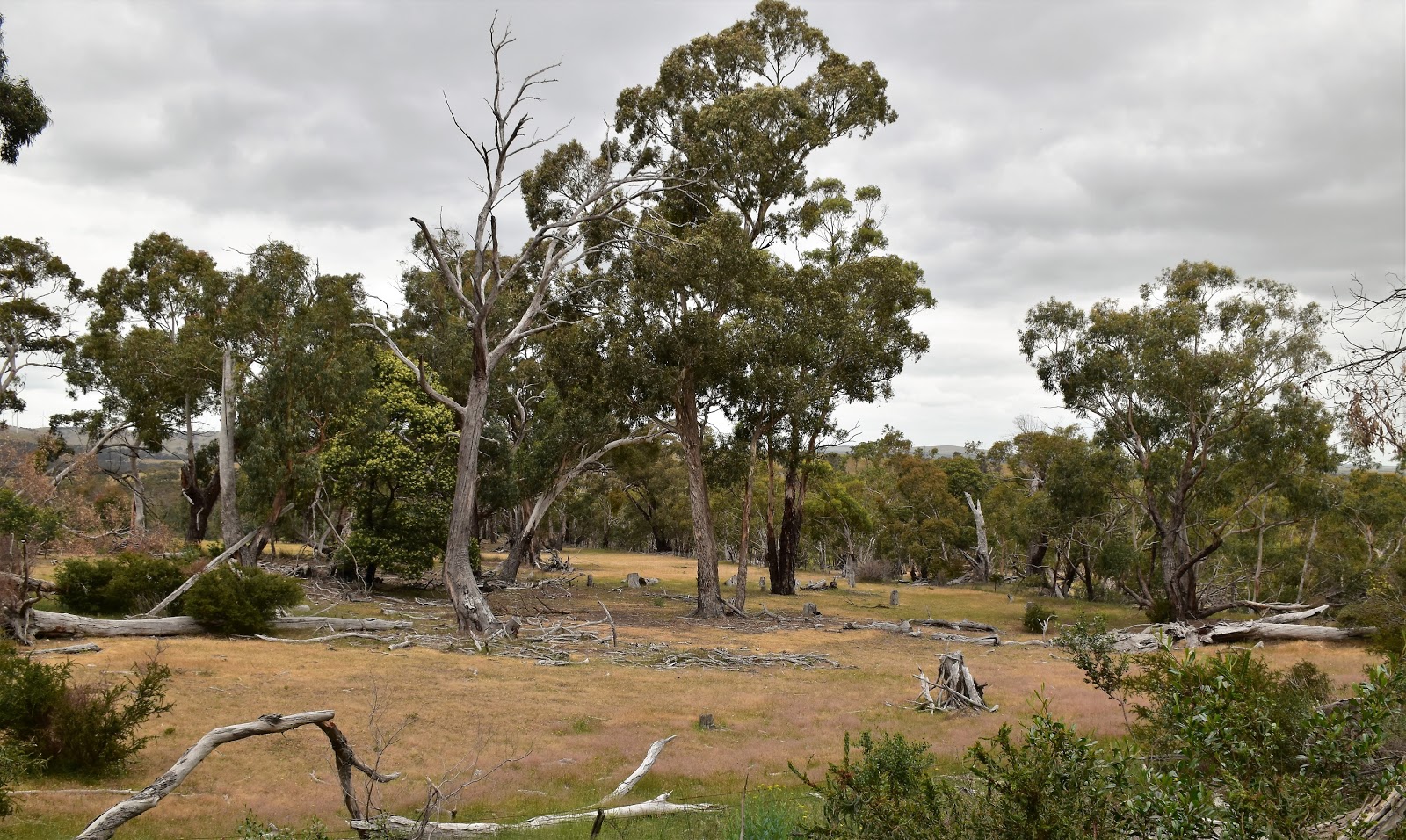
The walk starts at a small carpark on Langi Ghiran Track around a kilometre after leaving the Western Highway. The turn off from the western highway is just east of the spot where the highway crosses railway bridge. With this stroll not being particularly well known (well, I didn’t know about it;) I wasn’t surprised to arrive at an empty car park this afternoon. Locking the ute and resetting the GPS, I grabbed my pack and wandered off, gently climbing along the sandy track. The walk climbs through typical western Victoria dry Eucalyptus forest as it makes its way up to the Lar-ne-Jeering rock shelter, crossing what looks like an old water race and paralleling some private land on the way.
 |
There was no shortage of sign posting at the start of this walk.
 |
Hmm, this looks serious....
 |
The good sandy track climbed very easily through some typical western Victorian dry and open Eucalyptus forest.
 |
I crossed over a very old water race that was contouring the flanks of the mountain.
 |
There are a few marker posts scattered along the track.
|
|
|
|
|
Even allowing for my slow shuffling gait it was still less than twenty minutes before I arrived at the rock shelter. Lar-ne-Jeering translates to ‘home of the Black Cockatoo’ in the local Djub Wurrung language, and for anyone who has done a bit of walking up at Langi Ghiran then the Black Cockatoo part of the name wouldn’t come as a surprise. The shelter is comprised of two huge granite boulders resting against each other and no doubt provided a great refuge back in the day. From what I can understand the meaning of the art, which is in an overhang on the eastern side of the shelter, has been lost over time.
 |
| Lar-ne-Jeering Shelter. |
 |
| Arriving back at the ute on Langi Ghiran Track. |


No comments:
Post a Comment