 |
| Things were pretty sweet down on Tarilta Creek this morning. |
Ever since our rushed road trip from Perth back to Melbourne after being held up by bushfires on the Eyre Highway I seem to have been a bit like a rat on a treadmill, things have been hectic to say the least. This week was no different in that respect, I finished work on Friday afternoon totally shattered. Yes, I'm getting too old for this...if only I could afford my champaign lifestyle on my beer budget! Anyway, being pretty well shagged out I was looking for something not too far from home and not super hard or long for today's stroll. So after an extensive two minutes of research I settled on re-visiting an old favourite, Tarilta Creek over near Daylesford.
 |
The small lay-by at the start of the track on Porcupine Ridge Road.
|
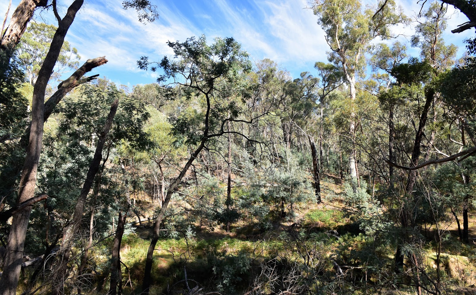
Now I might of been pretty tired however that didn't mean I could sleep in, my dodgy lower back see's to that! The good news is that means that nowadays I'm out on these walks fairly early and this morning was no different in that respect, I'd re-set the GPS and climbed away from the small car park on Porcupine Ridge Road by just after 8am this morning. The start of this circuit follows a section of the long distance Goldfields Track and the well signposted and maintained track made for a fairly easy start to the day. Initially I climbed a little up onto the crest of a ridge, once on the ridge it was just a matter of following it in a generally south westerly direction, the walk along here enlivened a bit with some distant views through the sparse tree canopy, Mt Franklin being particularly prominent.
 |
Initially I climbed a little....
 |
....before following a long ridge crest.
 |
I was getting some fleeting distant views through the canopy.
 |
The Goldfields Track section of this mornings stroll is well maintained and marked.
 |
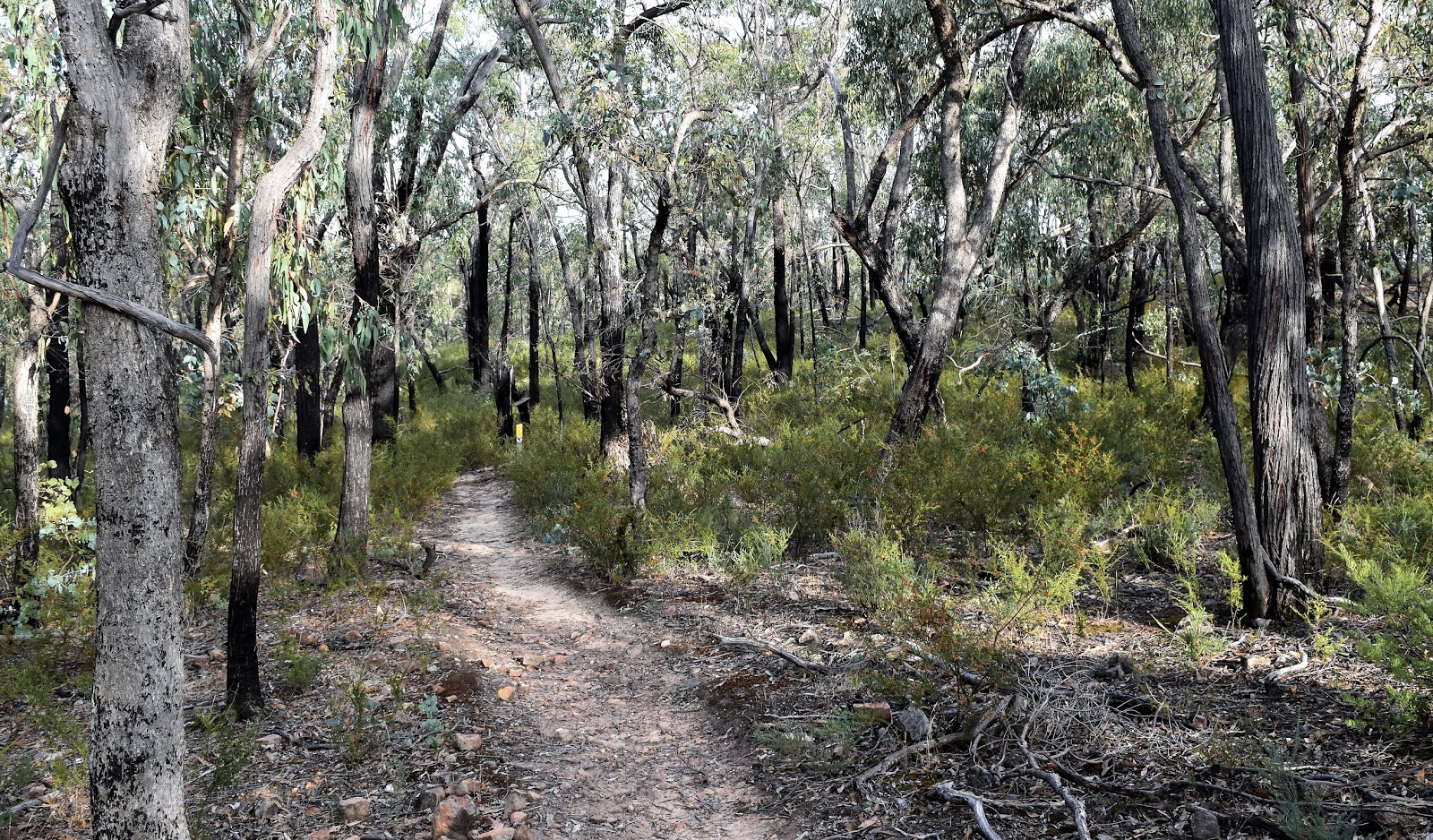
Typical open dry forest of the Upper Loddon State Park.
|
|
|
|
|
After following a nice section along an old water race (not an unusual thing on the Goldfields Track in my experience) I arrived at steep and deep fern filled gully and then after walking an old 4wd track for a few minutes I started to see some rural land off to my left. Now farm land normally doesn't generally float my boat that much however this morning I was really enjoying the juxtaposition of the cleared parched grassland along with the scrubby native bush. When the cleared land also appeared on my right it was my
tell to leave the Goldfields Track and start dropping down to Tarilta Creek. I was now following a very old 4wd track north and then north west towards the creek, this old track gets progressively rougher as it drops before disappearing completely down towards Tarilta Creek. Now while the actual track had mostly returned to nature it wasn't that hard to stay on my correct route as I was following a (sometimes scrubby) gully for most of the way.
 |
There's a nice section along an old water race along here.
 |
I passed above this deep fern filled gully at one point.
 |
I had some open farmland off to my left.
 |
We've had a bit of rain in the last month or so however things are still looking pretty dry...we are at the tail end of summer though.
 |
With cleared land starting to appear on the right of the track it marked the spot to leave the Goldfields Track, turn right and drop down to Tarilta Creek.
 |
The old 4wd track down to Tarilta Creek had largely returned to nature.
 |
| Even though the old track was mostly gone navigation wasn't really an issue as I was following this gully down to Tarilta Creek. |
|
|
|
|
|
|
Twenty minutes after leaving the Goldfields Track I arrived down on the open flats of Tarilta Creek.
Once I'd identified the dry creek it was just a matter of heading down stream, off piste for the next 4 kilometres. My notes actually call this a gorge however really the walk through here is just down a fairly steep sided rocky valley, to call it a gorge is to use a bit of poetic license. While it might not be super spectacular the walking is really good heading down Tarilta Creek, the open creek flats made for very pleasant strolling and the morning sun wasn't hurting my photos. Thankfully the creek side valley hasn't been over run with weeds like a lot of other creeks in the Goldfields region of Victoria have so I wasn't dodging thistles either.
 |
Hey, hey...I've just arrived onto the Tarilta Creek flats.
 |
Tarilta Creek
 |
I'd occasionally climb over the head of a spur.
 |
There was a few pools of water left in Tarilta Creek, however for the most part it was bone dry.
 |
| Back in the creek again. |
|
|
|
|
After passing a big and grassy camping flat I continued my walk downstream, now mostly in a northern direction. For the most part the creek side flats were the spots to walk however I occasionally walked the creek bed when the rocky bluffs closed in on both sides. Actually dropping into and climbing out of the dry Tarilta Creek was easily the toughest bit of today's stroll, the eroded banks normally around two metres high and more often than not vertical - yep I was thankful for my cat like agility (yes, a fat and old cat!) It was late morning when I decided that I'd better stop for a drink and a break...and to see exactly where I was on the map. After digging my map out I scratched my head for a bit, it seemed that I should be at my exit point. Putting the map away I looked down the creek a bit and there it was, the bridge spanning the dry creek that marked my exit point, my beautiful creekside walking had finished, hmm maybe I should walk with my eyes open. Grabbing my pack I wandered up to the bridge and had my break sitting on the edge of the concrete there.
 |
It was a beautiful late summers morning.
 |
 |
Tarilta Creek
 |
Walking these grassy flats was very enjoyable (yeah, yeah I know...it doesn't take much to make me happy!).
 |
Nice off track walking along Tarilta Creek.
 |
| I've just reached the Limestone Track bridge... you don't want to miss this spot. |
|
|
|
|
|
While it's very obvious it's important to identify this bridge as if you miss it you could be in for a very long walk indeed. Suitably refreshed after my my nice break I set off climbing away from Tarilta Creek up Limestone Track. The
go now was to climb the 4wd track for around ten minutes before picking up a rough walking pad that would take me up to a spot called Conical Hill. Just before arriving at a major track junction I found my faint pad climbing south along the crest of a ridge, this pad is very indistinct where it leaves Limestone Track however once located it was easy to follow up the the wooded summit of Conical Hill. Conical Hill once again allowed for some fleeting long range views through the sparse canopy and it is an important spot to identify as once again I was now heading off piste again for awhile. Swinging from south to south east I now started a very pleasant roller coaster walk along an untracked ridge line, the dry open forest with it's grassy understory once again making for very pleasant going.
 |
Climbing Limestone Track wasn't the worst walking.
 |
I picked up this faint pad off Limestone Road to climb Conical Hill.
 |
From Conical Hill I followed the ridge into this saddle.
 |
I crested one last knoll....
 |
| ....and spied the yellow gravel of Porcupine Ridge Road through the trees below me. |
|
|
|
|
Cresting one last knoll I noticed the gravel Porcupine Ridge Road a few hundred metres away below me through the trees. As I dropped down to meet Porcupine Ridge Track my mornings stroll was rapidly coming to it's conclusion. Once on the gravel road I turned right and meandered my way back to the ute, stopping occasionally to enjoy the beautiful late summer morning light. Ten minutes after setting foot on Porcupine Ridge Road and I was back at the ute pulling off my sweaty boots and settling in for the two hour drive home. This morning (yes I'd finished walking before 12) had been just what I'd needed, a nice and slightly adventurous stroll that I'd completed without sighting another person...perfect for my mental health!
 |
Walking back to the ute along Porcupine Ridge Road.
 |
| There's something about the light in Australia. |
|
The Dirt.
I walked 11.2 kilometres and climbed 279 metres on what I'd rate as a medium grade stroll. Now while I've called this as a medium grade walk there is a lot of this stroll that is totally off track. The last half of the drop down to Tarilta Creek, the 4 kilometres creek walk and the ridge from Conical Hill to Porcupine Road are all off piste, while there are rough pads that fade in and out in spots there is no walking track so anyone thinking of following in my footsteps needs to consider that. All that said I really enjoyed this walk, with the dry open country relatively free of prickly and spiky weeds it made for great walking I thought. This walk has been written up by a few authors over the years I think, I used the most recent published notes and maps which were out of Glenn Tempest's
Victoria's Goldfields Walk book. I also carried Meridian's
Wombat State Forest 1:50,000 sheet.
Relevant Posts.
Daylesford & Sailors Falls Walk, Wombat State Forest, 2014.
Daylesford & Hepburn Springs Walk, Hepburn Regional Park, 2016.
 |
| The utes just come into view...time to head home:) |


No comments:
Post a Comment