
Sanatorium Lake
Both of the periods when Melbourne has come out of lockdown this year have corresponded with my work requirements going off the scale, I suppose that'll happen when around five million people are suddenly free and can go shopping again. While it's good that business is good, it's bad for my walking which is really frustrating. One of the walks that I'd been considering over my months of lockdown was this one up near Mt Macedon. During my periods of Iso I'd been dreaming of walks where I'd be away from the maddening crowds, and this walk from Cherokee to Lions Head seemed to fit the bill. Anyway after finishing work in the early afternoon today, I motored on up to Cherokee to do a little socially isolated walking.

Plug these roads into your sat nav to find the start of this walk.

You won't have trouble getting a parking spot at Cherokee.

I started off by heading down Tunnel Creek Road beneath some old Redwood Trees.

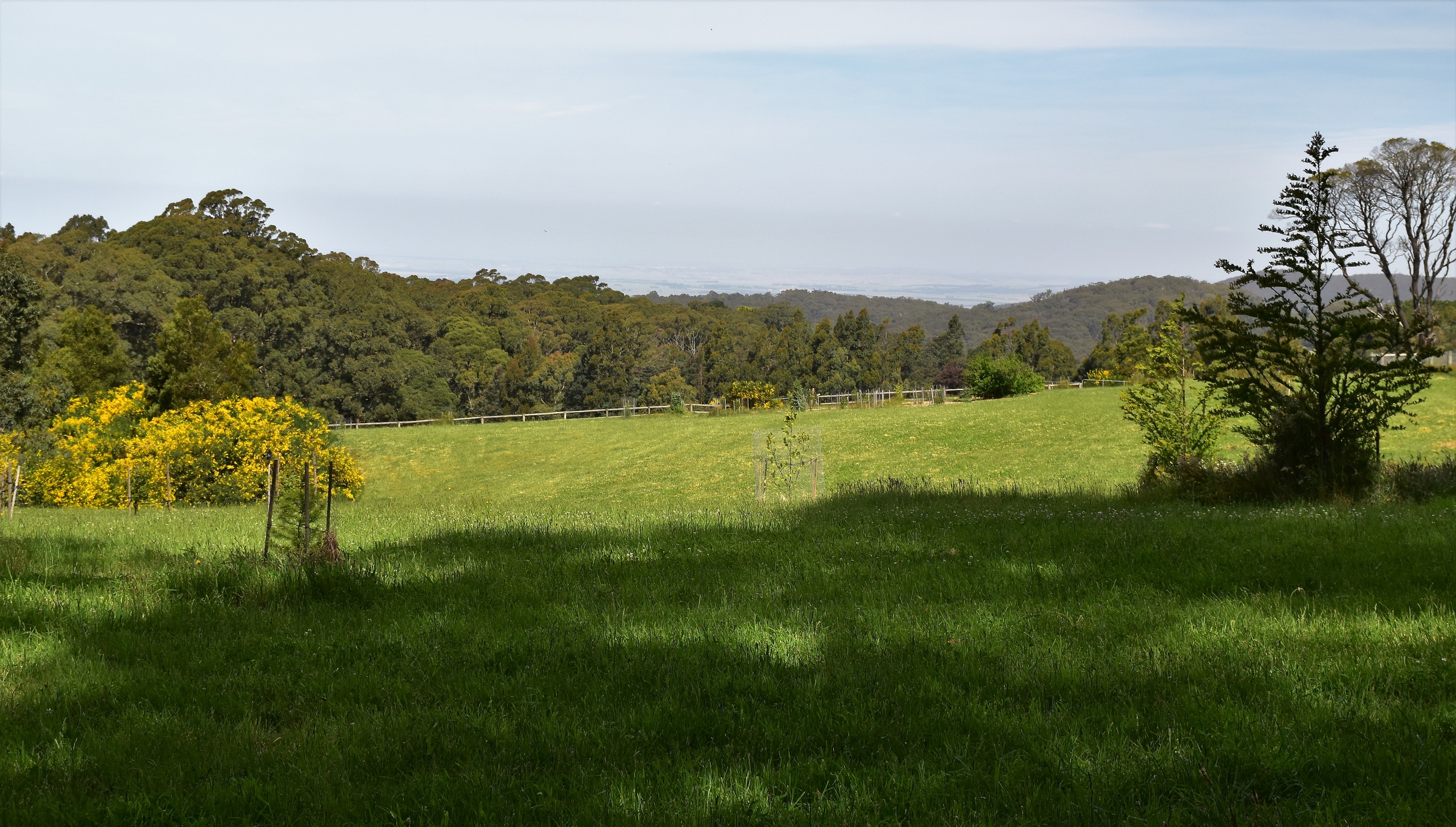
It's not all native flora on this stroll.

Walking passed country estates in Cherokee along Tunnel Creek Road.

It wasn't all country estates on Tunnel Creek Road.

Wombat

Easy walking... Tunnel Creek Road.

Shannons Road was again fairly good walking.
Allegedly the Melbourne CBD is normally visible from up here, although conditions were a little too hazy this afternoon.
After following Hesket Boundary Road for ten minutes or so I finally left the rural country that I'd mostly been walking through so far on my stroll. Passing a 'No Road' sign the dirt road deteriorated and I was once again walking a 4wd track. The bush now started encroaching on the track a little and while it was obvious some dirt bikes and SUV's had driven along here it didn't look like it was heavily trafficked, I certainly didn't see anyone. After climbing a bit I met an un-signposted track heading off up hill to my right, this was my ongoing route. The tell that you are on the right track here is a horse access track sign around 20 metres up the hill. Keeping an eye on my map and GPS I was fairly confident that I was on the right track and set off on another climb as I headed for the Lions Head Road. The climb up this unnamed track was probably the best walking of the day in hindsight, it looks like there has been a prescribed burn here in the last year or so and the forest floor was now carpeted in bright green bracken which looked pretty nice in the late afternoon sunlight.

Following Hesket Boundary Road I soon left the rural land behind me for awhile.

Nice walking along Hesket Boundary Road.

Hesket Boundary Road.

Climbing west away from Hesket Boundary Road I followed an un-named track. This sign is on the right in the bush twenty metres along the track.

My un-named 4wd track wasn't bad walking really.

Arriving on to Lions Head Road I swung left.

There are some nice water views from the picnic table at Sanatorium Lake, in fact the water could be lapping around your ankles!

Sanatorium Lake

Sanatorium Lake

Back on Lion Head Road and heading to the walks high point on the 964 metre Lions Head
To be honest Lion Head proved to be a bit of a non event really, the surrounding trees pretty well blocking out any views from the 964 metres summit. What there was up there though was a bit of old fencing that was sturdy enough for me to park my arse on for a bit of a break. Even though this walk was arguably lacking in wow moments I was really enjoying just being out in the sun and the fresh air this afternoon after being locked down for so long.

The view from Lions Head was... limited! This is a peek through the trees to the north west.

Leaving Lions Head I dropped down this shortcut.

Back on my un-named 4wd track and dropping back down to Hesket Boundary Road.

Hesket Boundary Road... or is it Mountain Road?

Macedon Regional Park.

Dropping down past some rural land on... Mountain Road, I guess.

Once again there are allegedly CBD views from here.

Late afternoon walking down Mountain Road.

The old boiler rusting in the bush beside Mountain Road.

Rural land, Mountain Road.

This muscly bloke was keeping as close eye on me.

The green tunnel on Mountain Road, Cherokee.
According to my GPS I walked around 14.3 kilometres and climbed around 382 metres on what I'd call a medium grade days walking. This walk is definitely worth considering if anyone has walked the more popular tracks around Mt Macedon and wants to experience a quieter stroll. There are a few navigational issues on this walk, the first issue is just finding the start of the walk, there is bugger all in Cherokee apart from some very expensive country estates and a CFA building and the local road system is a little counter intuitive (well it was to me!) Set you vehicle sat nav to find the intersection of Gap Road and Tunnel Creek Road and it should get you there. The other navigational issue is that on the walk some of the tracks are a little informal and un-signposted so you need to keep an eye on the map. Speaking of maps I used one of Tyrone Thomas' old mud maps out of his 150 Walks in Victoria book along with my GPS topos this afternoon.
Relevant Posts.


Looks like a good route wondering if you could get up Mountain Road to Lions Head Road on a MTB
ReplyDeleteIt's been awhile since I did this walk however from what I can remover it should be OK on a MTB... depending on your skill level and fitness there maybe a bit of hike a bike on the way up!
Delete