The Mt Korong climb features a bit of granite slab walking.
I've driven past Mt Korong many times over the year as I've motored up the Calder Highway, however apart from the fleeting glimpses from the vehicle the little park has never really featured that much on my radar. A few years ago the park gained some short term notoriety when a body was found wedged in a rock up there, however even the prospect of stumbling onto a major crime scene didn't entice me. What eventually caused me to head over and check out Mt Korong was pretty mundane really, I was in the area at the nearby Mt Kooyoora and was looking for a short walk before I set off on the longish drive back home.
To find the Mt Korong Picnic Ground head into the park when you spot this sign.
Information is very thin on the ground about walking up here although I did mange to dig up a map somewhere on the inter web and armed with that map and my somewhat limited local knowledge I set off to find the start of my track at the Mt Korong Picnic Ground. Just finding the picnic ground actually proved to be my first navigational challenge of the day. I approached the little park from Wedderburn this afternoon along the Wedderburn - Serpentine Road and was really just using the map on the GPS in my ute to try and match up with my basic map off the inter-net. Arriving at an unmarked track leading into the park the two maps seemed to more or less match up so I headed in, before strait away turning east for a short distance where I arrived at a bare open car park. Jumping out of the ute I had a poke around the scrub and found something resembling a pad heading through some bushes in the direction of the mountain... This'll do I suppose.
The un-signposted track starts heading up the mountain through these bushes.
Keep an eye out for this plaque to know that you are on the right track.
Locking the ute I grabbed my pack and set off towards the mountain. I picked up the pad that started at a small plaque commemorating Major Mitchells visit here on his explorations back in the 1800's. Apart from a complete lack of signposting the track was also very vague (to start with). I headed towards the mountain keeping just to the left of a substantial gully, although as I climbed a little the pad became pretty obvious. If all this sounds a bit dodgy well it's not really that bad, the dry open country up here generally means that tracks aren't always a necessity but more of an added bonus. Once located the track to the summit was a good walk, the higher that I got the better things got really and I found myself following a cairn line up huge slabs of granite as I neared the summit trig.
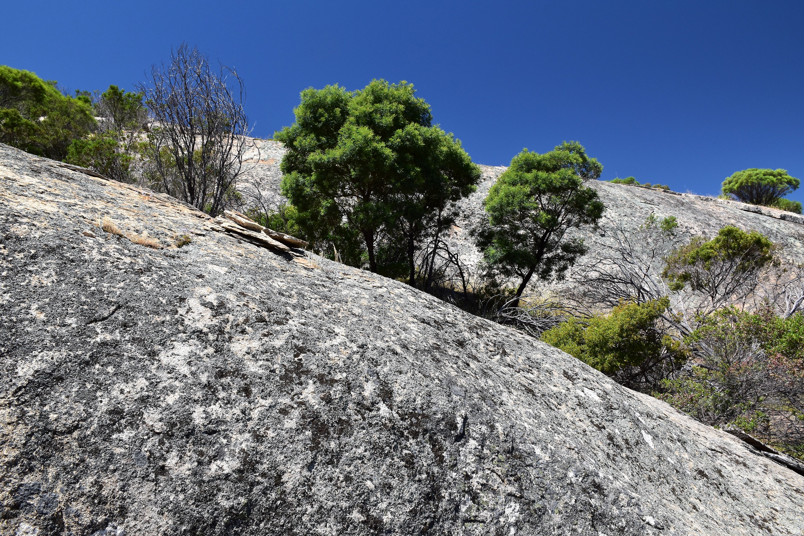
I stayed to the left of this gully and the track soon became well defined.
The Mt Korong Walking Track.
It's a solid climb...
.... although there are plenty of reasons to stop for awhile.
Mt Korong Nature Conservation Reserve.
Walking these rock slabs are a bit of a favourite of mine.
Looking east from the Mt Korong Walking Track.
The slabs had the occasional old cairns to keep me on track.
At 364 metres Mt Korong isn't generally reaching for the clouds however being situated in the vast flat agricultural plains of northern Victoria means that the view bats above its weight a little. From the summit the nearby Mt Kooyoora tends to draw the eye a bit although the flat country has it's own charm as well I reckon. After kicking back for awhile on the summit I set off on the adventurous section of todays walk. I was now dropping down a longish western spur to meet a 4wd track on the edge of the park, a spur that from everything I could ascertain was completely trackless. First up, after dropping off the summit I had to skirt south a little around some big cliffs that buttress the western side of the summit before finding myself on the very pronounced Western Spur.
Mt Korong Trig.
Looking south from the Mt Korong Summit towards Mt Kooyoora.
My descent spur from up near the summit.
Once heading west down the spur the walking was fairly typical of the walking in this part of Victoria. Every now and again I'd have to negotiate a short section of scratchy scrub and occasionally I'd have to find a route through some steep rocky country, however for the most part the going was extremely enjoyable. I was dropping down the mountain to eventually pick up a 4wd track that pretty well circles the perimeter of the mountain and the dry open country meant that I could pretty well see the track that I was dropping down to meet for most of my descent. It looked feasible to drop off the southern side of the spur to meet the 4wd track in couple of spots and I did consider shortening the walk up a bit, however the south side of the spur is pretty steep in spots and I think it was the right decision to keep following it west until I bumped into my track.
Once on the Western Spur the navigation was pretty easy.
Nice country for old men!
Any sections of tougher scrub were generally only short.
Looking back up towards the Mt Korong Summit - I'd skirted around that really steep stuff to the south.
I've called this the Western Spur although I'm unsure if it has a real (official) name.
The surrounding rural country wasn't without its interest.
With the open county ahead of me I intersected the track that I'd been aiming for right on a fence line. Turning left (south) I now followed this quiet 4wd track all the way back to the ute. Following this 4wd track was actually a little more enjoyable than I'd been expecting, the track skirted the southern slopes of the spur that I'd descended which gave me some nice views back towards the rocky mountain, while at the same time I found myself meandering though some nice Red Gums. Eventually my 4wd track (I think it might be called the Mt Korong Access Track?) deposited me back at the informal car park again and it was time to pull the boots off and head home after what had been a very nice little stroll.

Mt Korong Nature Conservation Reserve.
Walking the slabs on the Western Spur.
Looking back towards the summit from near the western extremity of the park.
Approaching the rural land the adventurous section of my walk was almost over.
Once I hit the 4wd track near the fence line I turned left and followed it all the way back to the ute.
Walking the 4wd track wasn't without it's attractions either.
The Dirt.
I walked 5.5 kilometres and climbed 277 metres on this medium grade stroll. There is a good walking track to the summit from the picnic area although the first few metres are a bit vague and it's un-signposted. Once on the summit it's off piste for the next couple of kilometres until I met the 4wd track on the western boundary. As far as off track walking goes my descent wasn't too bad, yes there were a few belts of thicker scrub and a couple of steeper sections of rock to negotiate however overall it was pretty good. As far as I know there are no published notes either in print or on line for this little walk and there is bugger all information about the park about either. I'm thinking this little un-loved mountain is well worth stopping at for a few hours to check out.
Relevant Posts.
Walking the 4wd track gave me a look at the southern side of my descent spur.
Mt Korong Nature Conservation Park.
Easy walking along the 4wd track as I headed for my ute.
Arriving back at the (un-signposted) Mt Korong Picnic Ground.
This is the entrance to park off Wedderburn - Serpentine Road ( I took this photo as I was leaving the park).


No comments:
Post a Comment