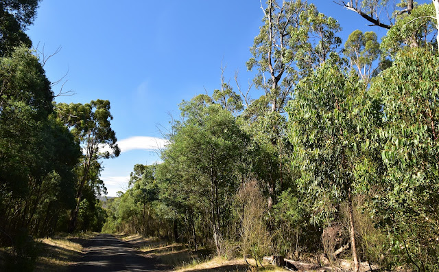
I passed by this old water gauging station on the way back to the ute.
I'd been up at the Andersons Garden Camping Area today doing a walk called the White Elephant Gap Walk and when I returned to the ute in the late afternoon I was still looking to explore a little more. My desire to do a bit more walking was as much to do with me wanting to wait out the Friday night peak hour traffic back in Melbourne than any real desire to check out more of Mt Disappointment State Forest really. I'd been a little disillusioned with my early walk as the bush here was still suffering from the 2009 bushfires and a lot of the tracks were also heavily damaged by trail bikes and 4wd's. So, on seeing that there was another walk here that sounded like it largely followed walking tracks instead of 4wd tracks I decided to check it out while I was here.
Andersons Garden Camping Area.
The signposted Sunday Creek Walk headed off from the south side of the campground on the eastern slopes above Sunday Creek. Straight away this walk was an improvement on my earlier walk as I climbed a good benched walking track until I was a fair way above the creek valley. While it was still obvious that the bush was recovering from the Black Saturday Fires it was looking a lot healthier than I some of the other spots around here. Once the track had climbed a bit it mostly contoured in and out off some side gullies as I made my way up towards the Sunday Creek Reservoir. The side gullies were crossed on some very flash bridges and boardwalk which made the walking even more pleasant.
Hmm... 6 kilometres hey?
The well benched track climbed a little initially.
As I climbed a bit higher above the creek the country dried out a bit...
... and I started to get some views across the Sunday Creek Valley.
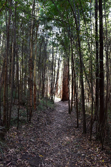
Passing through a tunnel of re-growth.
There is some good walking infrastructure on this little stroll.
Reaching what looks like the fenced off old track to the reservoir, my walk doubled back and dropped down to cross Sunday Creek on an interesting leaf shaped bridge. This bridge had a small lookout platform a metre or two above it on the far side which would make a suitable place to stop for awhile a take in the serenity if anyone felt that way inclined. I kept on shuffling this afternoon though, now walking downstream towards the low, early evening sun. Now the little bit of information that I could gleam before tackling this stroll suggested I'd be following another walking track back down to Andersons Garden Camping Area however I actually popped out of the bush onto Clonbinane Road near a pumping station.
After crossing this little bridge...
... I arrived at the furtherest extremity of the walk. It looks like the track use to continue further up stream towards Sunday Creek Reservoir although the old track is now fenced off - and being a stickler for following rules (?!) I figured that I shouldn't push on regardless.
I crossed over the gently trickling Sunday Creek on this interesting bridge.
Heading back down stream now I was walking into the late afternoon sun.
Having walked down this road a couple of hours ago on my bigger White Elephant Gap Walk I knew that there was no walking tracks heading back into the bush around here so I just shuffled down the quiet road. Meeting a closed grassy 4wd track that looked like it headed back down towards Sunday Creek I decided that it would do me. My grassy track dropped for a couple of hundred metres before I passed an old water gauging station that was now slowly returning to nature and then arrived at a small and pretty old weir.
I emerged (a little unexpectedly) onto Clonbinane Road near a pumping station.
After walking Conbinane Road for ten minutes I dropped down this grassy 4wd track towards Sunday Creek again.
The old 4wd track an easy walk.
I'm thinking that the old weir on Sunday Creek might provide an opportunity for kids camping down at Andersons Garden to have a bit of a paddle, although to call it a swimming hole would be stretching things a little I think. After taking a couple of shots trying to get a half decent photo of this peaceful spot I shuffled off back down to the ute, completing the walk a few minutes after leaving the old weir.
The 4wd track led me to this old weir on Sunday Creek.
I guess you could cool off a bit here if you were camped down at Andersons Garden Camping Area - although it's probably better for kids as it's not very deep.
Leaving the weir I once again had a walking track to follow for the last few metres back to the ute.
The Dirt.
According to my GPS I walked around 3.5 kilometres and climbed around 80 metres on this easy walk. Now interestingly (if you are a walking trainspotter like me!) the walk was signposted as being 6 kilometres - I'm guessing in the ye olde days the walk went all the way up to the reservoir? Actually the old track was still fairly obvious however as it was fenced off I decided that I'd better not check it out. This would be a nice walk for kids, especially if Sunday Creek is actually flowing as it was this afternoon. I used Rooftop's Toolangi-Macedon Adventure Map which was handy for an overview but not much else, along with my GPS topos. There are a couple of on-line resources if you google Sunday Creek Walk, however the information is all pretty perfunctory really (much like mine!).
Relevant Posts.
Arriving back at the Andersons Garden Camping Area in the early evening.


No comments:
Post a Comment