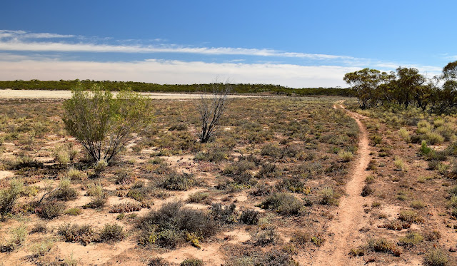
Nice walking along Camel Pad Track on my way back to the Hattah-Kulkyne Visitor Centre.
Normally I wouldn't generally visit Hattah-Kulkyne National Park to do a walk over our summer months, most of my visits up here over summer have involved camping and swimming on the nearby Murray River with very little walking involved. Being in Mildura for a few days before Christmas and having a reasonably mild temperature forecast I decided that a walk would be feasible today. With the low 30˚ forecast I figured that I'd work up enough of a sweat trudging through the dunes that a swim in the Murray River would be my welcome reward at the back end of the day.
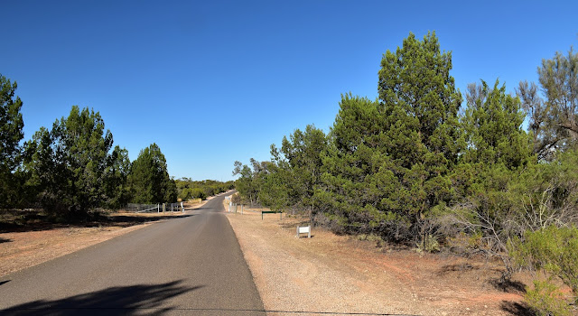
This mornings walk started off with a walk along the park access road for a few minutes.
Leaving Sam in town this morning I jumped in the ute and cruised down to Hattah. Arriving at the national park visitor centre I had my boots on and was on my way by around 9am this morning, while it wasn't quite an alpine start it was still early enough that the temperature had only just crept in the 20˚ range. Most of the walks that I've done up here over the years have featured lakes or the river however this morning I was heading into the dry desert country away from the water and into the dunes to the west of the visitor centre. Initially the walk started off fairly tame as I followed the sealed park access road west for ten minutes before picking up the start of Shingle Back Track a couple of metres north along the Old Calder Highway, from here on things picked up immensely.
I picked up the Shingle Back Track a few metres north along the Old Calder Highway.
Once I was on Shingle Back Track the walking along with the scenery improved immeasurably.
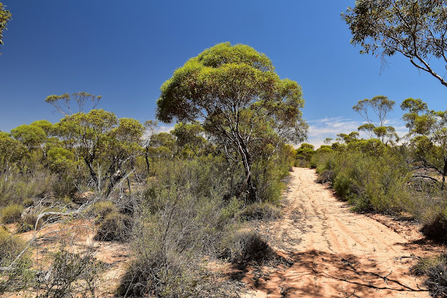
Shingle Back Track struck out pretty much due west and even though the sealed Hattah Robinvale Road was never more than a few hundred metres south of me, for the most part you wouldn't really know it. Shingle Back Track started off fairly sandy as the walking track climbed over a few low dunes, so straight away my calves were feeling it a bit today however with a bit of meandering around I was generally able to find some firmish sand to walk on. Initially at least I was passing through Mallee and Spinifex country as I shuffled my way west, although the closer I got to the tiny Hattah Store the more I found myself traversing flat clay pans, the firmer surface of the clay pans giving my calves a bit of a break.
Shingle Back Track.
The Hattah - Robinvale Road is only a few hundred metres away however it feels fairly remote along Shingle Back Track.
Getting closer to Hattah the Shingle Back Track traversed some clay pans.
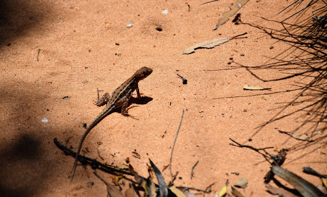
There is always plenty of wildlife up here...although I struggled to get a photo of any of the larger animals.
With the sound of traffic now noticeable over the bird sounds I figured that I was getting close to the Calder Highway at Hattah and the sight of some fenced private land in front of me only confirmed that suspicion. It was now getting close to 11am so arriving at the Hattah Store I decided that it was smoko time. Sitting in the shade enjoying a Gatorade and Snickers while I watched the 4wd's pull in and out I couldn't help but think that this little store / roadhouse probably doesn't see too many bushwalkers staggering out of the bush. After enjoying the shade for awhile I figured that I'd better get moving again as that swim that I'd been looking forward too wasn't going to come to me.
Arriving at Hattah - I'm thinking that they don't see many bushwalkers wandering out of the scrub at this little roadhouse.
Hattah
Leaving the Hattah Store I was going to return to the visitor centre and the ute via Camel Pad Track. To find the start of Camel Pad Track from the store I shuffled north a couple of minutes beside the Calder Highway before picking up a the track right beside an electricity sub-station. After heading east for 100 metres I swung west onto the track marked by red arrows and set off north along the sandy 4wd track for around a kilometre. This sandy track parallels the Calder Highway and it's fairly important to watch for the spot where the more minor Camel Pad Walking Track veers away to the east into the scrub, the junction is marked with another track marker. Once on the walking track most of the navigational requirements took a back seat for awhile as I followed the well marked and defined track east into the Hattah-Kulkyne National Park.
Leaving Hattah I followed the Calder Highway north for a couple of minutes before picking up this track heading into the bush beside the sub-station.
I followed this 4wd track for around a kilometre as it paralleled the Calder Highway (the highway was west of me) before branching off onto Camel Pad Track here - you don't want to miss this intersection!
Camel Pad Track
Camel Pad Track passes by this small salt lake.
I was now heading into the late morning sun although while the day was warm enough it wasn't too hot and the good news for me now was that the Camel Pad Track was a little firmer under foot than Shingle Back Track had been. The scenery was also a little more diverse on Camel Pad Track too and I soon found myself skirting around a large salt lake, the more open country allowing for some longer range views. With Camel Pad Track starting to cross some sand dune country I arrived back onto the Old Calder Highway... a right turn along this dirt road here would of got me back to the ute a little quicker however I headed left for a few minutes to arrive at Woodlands Gate.
Camel Pad Track
Camel Pad Track
Claypans and Mallee Trees along Camel Pad Track.
Nearing the Old Calder Highway, Camel Pad Track traverses some sandy country.
Camel Pad Track
I headed north along the Old Calder Highway for a few hundred metres.
I'd actually been here in the last year or two on a three day walk around the park so I was now back in somewhat familiar territory, although last time I'd come through I'd arrived from Warepil Lookout in the other direction. Passing through Woodlands Gate I headed east for a few minutes along a particularly soft section of track until I arrived at Woodlands Track. As the name implies Woodlands Track passed through some more substantial vegetation as I followed it south towards the Hattah-Kulkyne National Park Visitor Centre. Last time I'd walked this track a couple of the shallow depressions had still held some water although things were bone dry today, being ephemeral lakes though that's not unusual really.
Woodlands Gate
Camel Pad Track east of Woodlands Gate is pretty soft.
Hattah-Kulkyne National Park.
I'm still looking pretty happy with life as I make my way along Camel Pad Track.
Camel Pad Track
I headed right here along Woodlands Track back to the visitor centre.
While the lower depressions along Woodlands Track weren't holding any water today the Yellow Gums and Red Gums looked like they were still doing OK. It's actually the Cypress Pines growing in the red dune country that I enjoy the most along this section of the walk, the sight and smell of these Cypress Pines always seem to brighten my mood. Just over half an hour after setting off along Woodlands Track I spied the communication aerials at the visitor centre which signalled the end of my stroll... it was time to pull the boots off and head off for that long anticipated swim.
Woodlands Track passes through some nice Cypress Pines.
These shallow depressions were holding water last time I was up here.
Red Gums along Woodlands Track.
Woodlands Track
Arriving back at the Hattah-Kulkyne visitor centre in the early afternoon... it was time for a swim.
The Dirt.
According to my GPS I walked around 16 kilometres and climbed around 104 metres on what I'd call a medium grade stroll. If anyone else considers doing this walk in summer then it's vitally important to do it on a cooler day, on a hot day this would be a very unpleasant and dangerous walk on what are sometimes soft and sandy tracks. For what it's worth in my opinion this walk is one to consider if you have already done most of the walks around the lakes in Hattah-Kulkyne National Park, the country that the track passes through isn't quite as scenic as country around the fresh water lakes I don't think. I joined Shingle Back and Camel Pad Tracks up to make this into a circuit, the advantage with that is that if you start at the national park visitor centre then the Hattah Store makes a great place for lunch (or morning smoko in my case). I used the 2nd edition of Meridians 1:75,000 Hattah-Kulkyne Map today along with my GPS topos today.
Relevant Posts.
I headed across Stockyard Track...
... and then Chalka Creek Track...
... to reach the Murray River at Ki Bend.
Waist deep in the Murray River.
I wish every walk finished with a soak in cool river in summer!


No comments:
Post a Comment