
This short walk is all about coastal the views.

There is room for around ten vehicles beside the Great Ocean Road at the end of Godfrey Track.
Parking at the small car park beside the Great Ocean Road I grabbed my pack and set off on my days adventure. After crossing the Great Ocean Road and checking out the gravestone and information about the shipwrecked W.B.Godfrey I dropped down to water level. Instead of turning left and heading north up the rocky coast I decided to make my way onto an exposed reef to check out the remains of the old shipwreck. It was back in 1891 when the W.B.Godfrey came aground here with thankfully no loss of life, however the salvage operation did resulted in the loss of life and that is what the gravestone up beside the Great Ocean Road commemorates I think. To get out onto the reef close to the old wreck required a fair bit of slippery rock hopping while at the same time keeping a close eye on the swell rolling in and I wouldn't even think of trying this at anything but dead low tide I don't think.

The lone grave beside the Great Ocean Road commemorates the loss of life during the W.B.Godfrey shipwreck, although the loss of life was actually during the salvage operations.

At dead low tide it's possible to still see parts of the old shipwreck.

The W.B.Godfrey wreck.

I got fairly close to the old wreck, however I had to be very careful of the swell.

Making my way back onto dry land I headed north along the coast.
Back on dry land after my shipwreck side track I put my head down and started shuffling my way north. The coast walking along here was mostly rock platforms, and initially at least and it made for pretty easy walking although once again that's on the proviso that the tide is fairly low. Reaching Artillery Rocks I found myself suddenly walking through a gaggle of rock fisherman, no doubt the staircase down from the Great Ocean Road facilitating that. Rounding Artillery Rock the rock shelf walking finished and I found myself rock hopping over rounded boulders for the rest of my coastal walk up to the Jamieson River mouth.

Most of the coastal walking was along rock shelfs.
The bush here is still recovering from the big 2015 bushfires.

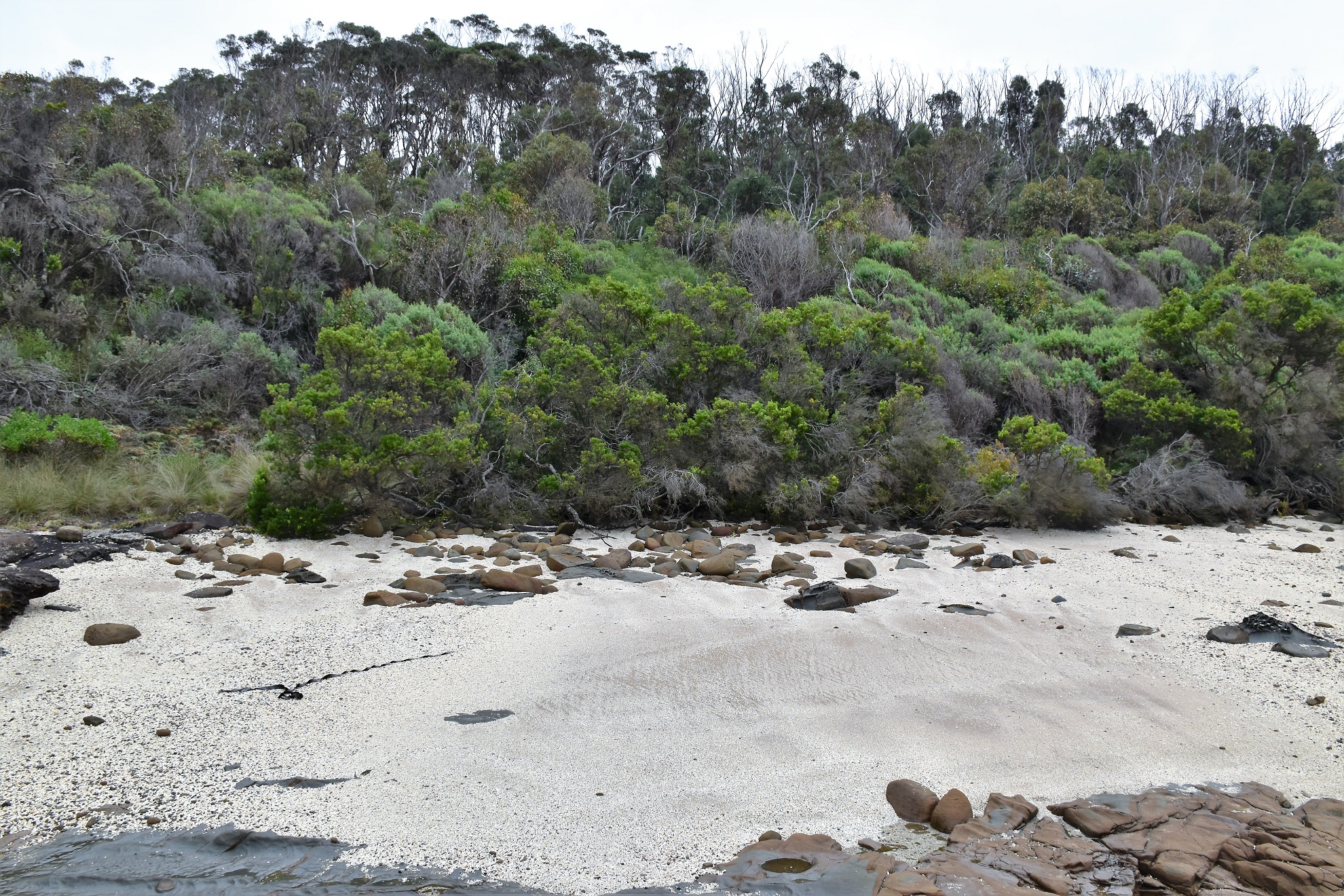
There are some nice little beaches along this section.

Even beneath the overcast sky Bass Strait still looked good.

Artillery Rocks

Artillery Rocks

The coast between Artillery Rocks and the Jamieson River mouth is a little rougher.
Arriving at the Jamison River I left the coastline and crossed the Great Ocean Road to pick up Jamieson Track. I'd come down here last year and found a heap of warnings about the track being closed and once again I passed by a plethora of warning signs, although when I looked closely I found one that indicated that walking was permitted on Jamieson Track so I pushed on. I'm thinking that the closure is something to do with the work going on at the Jamieson Creek Campground although shuffling through this morning it didn't appear that much had changed since my last visit, except the weeds had got a little higher (Gee, Parks Vic have really blown the budget on this place though - think seats carved out of rock and you'll understand what I mean).

I turned inland when I reached the Jamieson River mouth.

There are a lot of closure and warnings at the start of Jamieson Track - there is one that says that walking is allowed though.

Parks Vic are building a flash campsite at the bottom of Jamieson Track which is the reason for all the closures and warnings I think.

Apart from the rock fisherman there were a few surfers out enjoying the break at Artillery Rocks this morning.
After passing through the very flash but equally deserted campground I climbed Jamieson Track up to the head of a spur. It was here that my day changed through, I was planning on climbing Jamieson Track up this spur before dropping down Godfrey Track on the next major spur to the south, however after arriving at the base of the spur on Jamieson Track I found a freshly cut walking track. Now I had no idea where this track went, however helpfully Parks Vic had also provided a brand new signpost as well and Godfrey Track was signposted as being a couple of kilometres away, so I assumed that the walking track must contour south along the coast above the Great Ocean Road down to meet Godfrey Track - so off I shuffled.

Arriving at the head of the spur which Jamieson Track climbs I found this new track junction...

... so I decided to head along the new track and check things out.

The short section of the new walking track that I walked featured a couple of lookouts...

... with some nice views out over Bass Strait.

I'm guessing that this track (and the campsite) might have been funded out of a bushfire recovery program?

Looking across the Godfrey Creek Valley from the new track.

Dropping down to cross Godfrey Creek there was some impressive dry stone work.
The Dirt.
According to my GPS I walked 3.9 kilometres and climbed around 112 metres on this easy walk. This walk turned out a fair bit shorter than the original walk that I'd planned however it still made for a nice day out, to be honest the grey overcast conditions had sucked away a fair bit of my mojo this morning so the shorter walk wasn't entirely a bad thing. The coastal section of this walk is a low tide job so if anyone follows in my steps then plan your stroll around the tides. The new walking track that I found actually looks like it continues along the coast all the way down to Wye River so I'll have to get back down here soon and check that out. As far as I know there are no published notes for the stroll as I did it today.
Relevant Posts.

Hmm... it looks like I'll have to come back and check out the rest of the track.

Meeting Godfrey Track I dropped down to the ute.

Time to head home.


No comments:
Post a Comment