
I'm thinking that the middle of a hot day isn't the optimum time to visit the Riversleigh Fossil Site.

It was a rough old drive down to Riversleigh - with a few creek crossings and some cattle to negotiate.

It's pretty low key out here.

Heading up to the information cave.
So, after a dusty 50 kilometre drive I parked the ute in the barren carpark beside the dusty and deserted Riversleigh Road and set off to explore a little. There is a marked track here which I followed up to a small information cave situated on the plain between the carpark and the escarpment that I was heading for. The information in the 'cave' explaining the history and the significance of the fossils around here. Leaving the cave I headed off left (south) and started to climb. It was baking hot out here today and there is almost nothing in the way of shade, so I was pretty thankful that there were a lot reasons to stop and check out various fossils.

The old information area was a little surreal.

Inside the cave there is information on the animals that use to roam the area.

The first fossils are from the big croc.

Once on the top of the escarpment I was lucky to pick up a slight breeze which took the edge off the heat a little. There are a few options along here as the track followed the edge of the escarpment generally north west, the spot to watch out for is an un-marked but very obvious track that contours just below the eastern edge of the escarpment, this short side trip led to a vertical wall of rock that was absolutely full of fossils. Back on the main track I checked out a couple of lookouts that allowed for an expansive view down over the dry plains, before starting my descent back down to the ute (yes, it's s short walk!).

Termite Mounds and Spinifex.

The track here is easy and well constructed.
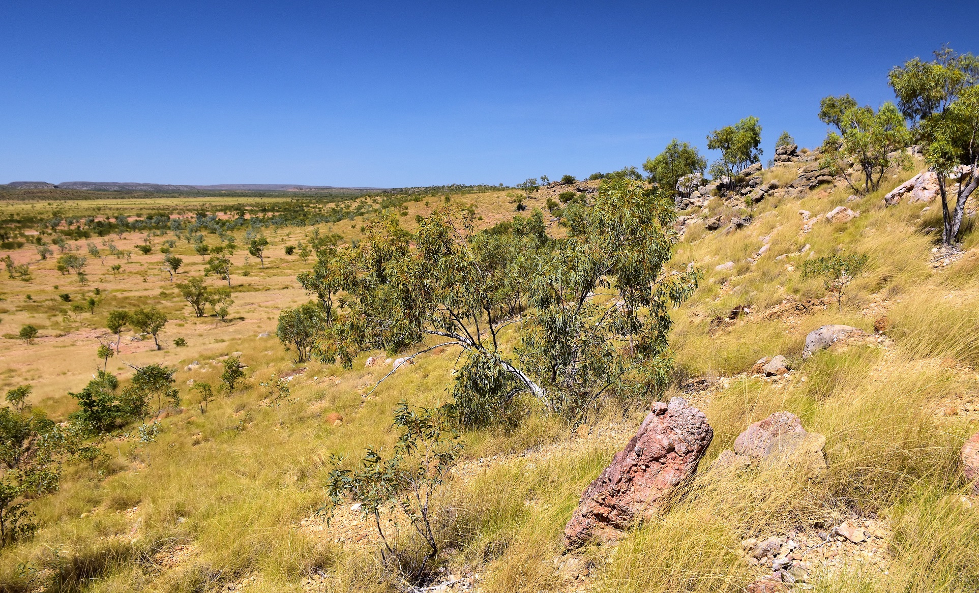
Once up on the ridge line the fairly flat country allowed for some long range views. This is the view to the south-east (in the Mt Isa direction).

When I visited there was an obvious (but un-signed) track just on the eastern side of the crest that led to this wall of fossils.

This is the track to look for to check out the wall of fossils.
Initially the descent swung west a little to take in a view of the Cambrian Limestone Stacks scattered around the hills to the west. After checking out the Cambrian Pancakes the gravel track dropped easily down slopes covered in golden spinifex and termite mounds - I reckon that if you live up north then spinifex and termite mound would be a little ho hum however coming from Melbourne they still hold a bit of interest for me. After checking out yet more fossils I met my outward route near the information cave and retraced my steps back to the ute.

Yes, it's a short walk!

There are a couple of informal lookouts up on the ridge - this is looking north (in the direction of Adels Grove and Lawn Hill).

Cambrian Pancakes (Limestone).

Dropping back down to the ute.

Riversleigh World Heritage Area.
The Dirt.
According to my GPS I walked around 1.2 kilometres and climbed about 37 metres on this easy stroll. While the walk is very short there are a lot of steps and there is also not much in the way of shade - it was 38˚ on the day we visited so keep that in mind. I'm thinking children would really like this walk, the fossils are quite often signposted with good information boards and are generally easy to see embedded in the rock. I used my Alltrails Map along with my GPS topos on the stroll. Incidentally, Hema Maps are probably the best bet when touring around these remote areas looking for trail heads or national parks I think.
Relevant Posts.

Riversleigh World Heritage Area.

The honeycomb fossils are the bones of a big bird - the honeycomb structure strengthened the bones while keeping the weight down.

Time to head back to Lawn Hill for a swim I think.


No comments:
Post a Comment