
Lake Woorabinda
This was the first walk from our North Queensland road trip in April / May 2022. Yes, with our Victorian Lockdown season fast approaching Sam and I decided that this year we'd head north - a long way north, if we were going to get locked down it may as well be somewhere warm. Hillston was just a stop to stretch our legs on our drive north and the short lakeside loop of Lake Woorabinda looked about the perfect distance for that.

We enjoyed a nice sunrise up near Shepparton on our long drive north today.
Some of these road trip posts over the next couple of months are going to be pretty perfunctory affairs as it takes longer to write, edit (yes, I know its hard to believe that I edit!), and create maps than the walking sometimes... no wonder most walkers on the long tracks vlog and don't blog. Anyway, Sam decided that the grass on the edge of the lake would do her, so I set off on this little walk on my own today. Lake Woorabinda is a man made job with the water pumped from the nearby Lachlan River and almost immediately I arrived at the pumping station, and with the water level in Lake Woorabinda looking pretty low (and a little blue/green!) I don't think it'll be long before the pump is fired up again.

The grey cloud seemed to roll in as soon as we stopped.

The track around the lake is a gravel shared path job.

The lake is filled from the nearby Lachlan River - I'm not too sure about the bullet marks on the pumps old fuel tank!

The what silo was another notable feature of the stroll....

... along with the Lachlan River.
Actually the Lachlan River is arguably the most interesting feature of this stroll and I now walked the strip of land between the lake and the river as I shuffled my way along the gravel path to the northern end of the lake. We'd driven all the way up from Melbourne under clear blue sky so it was kind of ironic that as soon as I got out of the drivers seat to go for a stroll the clouds came in (I even copped a spit of rain) so the reflections off the still lake maybe weren't quite as I'd hoped, although I still tried to do something with the nearby wheat silos. Around 30 minutes after saying goodbye to Sam I was back at the ute and we were on our way to Bourke again - happy to have broken the 12 hour drive up a bit.

Big old Red Gums beside the Lachlan River.

Lake Woorabinda

Wheat has been grown in these parts since 1895 - these concrete silos were built in 1962...
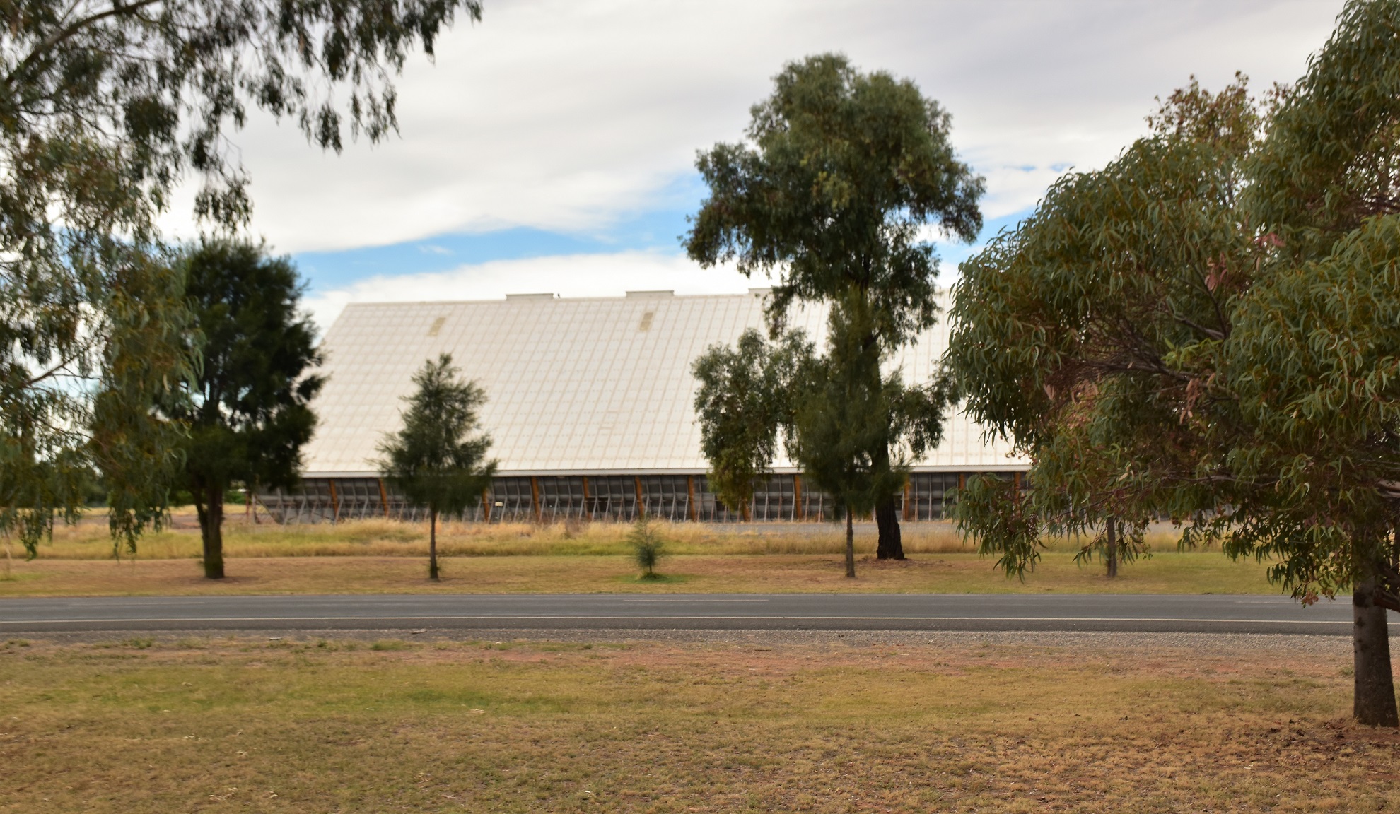
... and in 1980 this wheat bunker was also built. Yes, I'm the suppository off all wisdom (I gotta thank the Mad Monk for that one😉)
The Dirt.
According to my GPS I walked around 1.8 kilometres on this easy walk. As I've already mentioned this is a walk to do if you are looking at stretching your legs on a long road trip (or if you live relatively local). I found this walk on Alltrails although Google Maps will get you through. I used the Alltrails Map and my GPS topos today.
Relevant Posts.

Lake Woorobinda

After a tough walk of almost 30 minutes it was about time to start heading north again!

There was a good amount of bird life on the lake.


No comments:
Post a Comment