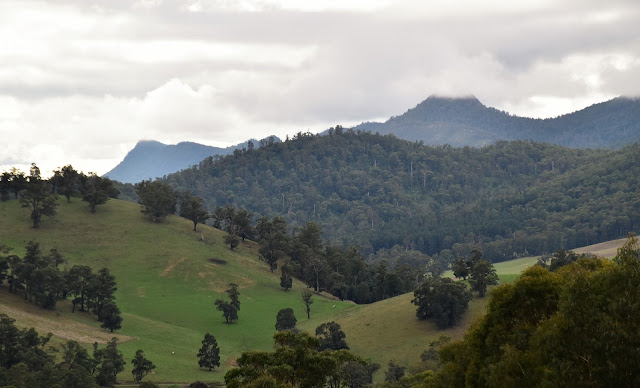
Conditions were a little grey and underwhelming this afternoon.
Leaving Marysville...
... I crossed the Stevenson River near the caravan park.
Leaving the ute at Gallipolli Park I grabbed my pack and set off on what I've called the Taggerty River Circuit. In reality this walk would follow a series of different tracks as I was making things up a bit on the run. Leaving Marysville I crossed the Stevenson River near the caravan park and climbed into the bush. Instead of climbing Red Hill though I started a bit of a circumnavigation as I climbed a good track around the western slopes of the hill before meeting Red Hill Track on a north running spur. Red Hill Track is a 4wd track and it provided the dodgiest walking of the day as I dropped down the red clay track, walking down this track was like walking on ice and there would be little chance that I would of made it down without going arse over without my trekking poles.
After crossing the Buxton - Marysville Road I picked up the signposted walking track.
I swung left down the Red Hill Track when I met it on a spur. This is the best spot to get a view across to the Cathedral Ranges.
Dropping down the incredibly slippery Red Hill Track. Trekking poles and walking on the wet grass was the go down here.
Down on the Taggerty River Flats.
Most of the higher mountains were cloaked in cloud this afternoon.
Dickson's Track made for easy walking.
I took the well signposted walking track out to check out the Taggerty River Lookout.
The Taggerty River Lookout.
The thick bushfire regrowth makes accessing the river banks a bit of a mission along here.
There was no shortage of signposting in some spots along the walk - I just had little idea on what a lot of them were trying to tell me!
Michaeldene Track has been around for a long time...
... and I thought it made for the best section on this afternoons stroll.
Reaching the Marysville - Woods Point Road I swung right and dropped down the hill back into town.
The road walk was short however I still found a few things to keep me interested.
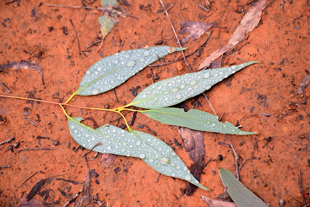
The Dirt.
According to my GPS I walked around 6.8 kilometres and climbed about 157 metres on this easy walk. While this walk was easy keep in mind that the red clay surface on some of the tracks (particularly Red Hill Track) can be very slippery after some prolonged wet weather... like say, in winter! Trekking poles were extremely useful this afternoon. While the town of Marysville has been rebuilt and has more or less returned to it's pre bushfire vibe the bush around town is still recovering, while it's getting better it can still be like walking through a wall of green regrowth sometimes. Numerous bushwalking authors have written up versions of this stroll, I used my Alltrails App and my GPS topos this afternoon.
Relevant Posts.
Back down at the Stevenson River at Gallipoli Park.
Rugged up in Victoria's mountains in winter - it seems only yesterday I was sweating my way around the tropical north.
Gallipoli Park wildlife.
Time to climb in and warm up a bit.


No comments:
Post a Comment