The second (middle) lookout was the pick of the views I think.
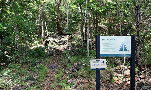
Setting off and I can already see the summit... how hard could it be?
The first part of the walk featured some nice rock slabs.
The first lookout has a nice picnic shelter.
The first lookout gave me a bit of a look down over Cooktown and the Endeavour River - google Cook and Endeavour and you'll see the significance of this spot!
I've filled that big one away for future reference!
Things got a little bit more serious after passing by the first lookout.
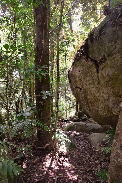
The rainforest floor is littered with huge rocks.
The second lookout.
Looking south from the second lookout.
Looking towards the summit from the second lookout - the walk was about to get a fair bit rougher.
After slugging a bit of water at lookout #2 I grabbed my pack and set off for the summit. The track now became more of a pad as it headed upwards, ever upwards! For the most part the route was obvious, although there were a couple of times that I had to stop and think to myself "if I was building a track up here where would I go?" I guess it was another 20 minutes or so of fairly sustained climbing before I suddenly emerged from the thick rainforest onto the summit - and it was all fairly underwhelming really. The summit has a telecommunication facility and a helipad, although to get to the helipad I had to push through some head high scrub to find it. Once I did successfully find the helipad I climbed up onto it to check out the 'summit view'. Now I have to say it helps to be tall here as the trees around the summit do tend to block out the views a little, still I did mange to once again get some reasonable views out across the Coral Sea and down towards the Daintree again.
The going was fairly vague on the last section.
I was looking for navigational clues as I climbed my way up the mountain.
The summit wasn't the most scenic spot that I've visited.
Looking south from the summit.
I had a bit of company up on the summit - I think it's a Sea Eagle.
There are some nice beaches south of Cooktown by the look of it.
Looking out over the Coral Sea from the summit.
I spent around 15 minutes on the helipad I guess, however eventually the lack of shade forced me to start my descent. Having walked up the track half an hour ago you'd think that I'd be pretty ok with the navigation on the descent, however there were still a couple of spots where I had to stop and think about things on the higher section of the descent. After checking out both the lookouts again it was just after 12 when I got back to the ute - time to head back to our accommodation and hang out at the pool for awhile.
Dropping back down to the second lookout.
The second lookout's Coral Sea views.
More big rocks on the Waymbuurr Walk.
The black lichen covered rocks are pretty common up in North Queensland.
The Dirt.
According to my GPS I walked around 6.1 kilometres and climbed about 447 metres on what I'd call a medium grade walk. As I've mentioned already this climb can be split into three sections punctuated by the lookouts. The first section was fairly easy, the next section got a bit rougher and the third section was pretty steep, rough and vague (but less than a kilometre). The local Cooktown Council has some free stuff online about walking up here. I used the notes and map out of the Woodslane book Best Walks around Cairns & the Tablelands along with me Alltrails App and my GPS topos.
Relevant Posts.
Nice easy walking back down on the lower slopes of Waymbuurr.
Waymbuurr Walk.
Back at the car park. There is room for around 4 or 5 vehicles here.


No comments:
Post a Comment