My best attempt at getting a photo of Davies Creek Falls.
I went left.
Dropping down to the first of the lookouts.
The first lookout gazed down the Davies Creek gorge in the direction of Mareeba and was a nice rugged view, the second lookout was the money shot though as it looked out over Davies Creek Falls. These falls drop around 100 metres down fairly sheer granite slabs and while they were a little tough to frame in a photo they make for a stunning sight, especially with lots of water coming down the creek like there was this afternoon. A little further along the track there is access to the creek and it would be possible to rock hop to swim in the infinity pool at the top of the falls however with the volume of water coming down I thought that the infinity pool would be a little dodgy today - there would be no coming back if you went over these falls.
The first lookout had a good view down the Davies Creek Valley.
The second lookout had a view of the falls.
I struggled a little trying to photograph the grandeur of these falls.
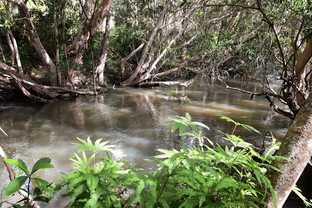
Continuing on the circuit the track followed Davies Creek upstream to soon reach and informal picnic area that comes complete with a great swimming holes. This was the spot to cool off this afternoon before once again re-joining the circuit and climbing back up to the ute. Like the rest of this short stroll the climb back up to the ute was well graded and pretty easy, although it was the forest that was the feature along this section and not the creek.
After checking out the falls I headed up stream to the swimming hole.
Davies Creek up stream of the falls.
The swimming hole and picnic area was a little low key.
Davies Creek.
The Dirt.
According to my GPS I walked around 1.3 kilometres and climbed about 45 metres on this very easy stroll. There were two good formal lookouts (with safety fences) and numerous informal viewing points, there is an informal picnic and swimming area with no facilities from what I could see. I did zero research on this little walk so I'm not sure what's available online and in print, however on the walk I used my Alltrails App and my GPS topos. Most people should get through this little walk without a map.
Relevant Posts.
Climbing back up to the ute.


No comments:
Post a Comment