
Very nice walking on the Turtle Rock Walk.
After climbing Walsh's Pyramid yesterday I was looking for an easier stroll today. So after a little bit of searching I decided to head out to Davies Creek National Park and have a go at the Turtle Rock Circuit. To get to this walk meant climbing back up onto the Great Dividing Range along the Kennedy Highway from Cairns and then following the dirt Davies Creek Road deeper into the hills for 10 kilometres. By the time I arrived at the start of the track I was ready to get out of the drivers seat and start walking. I actually started the walk on the side of Davies Creek Road between some camping nodes, I guess I could of parked at the camping nodes however I wasn't 100% sure on what the people are paying for when they book these sites - obviously they are paying for exclusive camping rights, however does that include car parking, long drop (and swimming holes) as well? Anyway, with the walk actually following this section of Davies Creek Road for a few hundred metres I figured that parking beside the road would be the best bet.

My route actually utilised this section of road.

After walking the road for a few minutes I crossed Davies Creek on a concrete road bridge.

Once on the walking track the going was very good.

The bush in Davies National Park was looking pretty good at the back end of the wet season.

The climb to turtle rock got progressively steeper.

The Turtle Rock Climb.

This rock chute was the crux of the climb.

This was one of those throw the trekking poles up ahead of me and then climb up after them jobs.

Once above the scramble I got some nice views across the Atherton Tablelands.
Not having much luck visualising the turtle I concentrated on the views instead, the view south to the rugged country in Dinden National Park drawing my eye. After moving around the rocky summit for awhile taking in the different vistas I started descending steeply in a south easterly direction and whilst I stopped to check my navigation I looked back up towards the summit and there was the turtle! Initially the descent was steep, however that only lasted for a few minutes and then I started a fairly long and gently undulating ridge walk through some beautiful open forest that was no doubt looking its best after the summer rains.


The view from Mt Turtle.

I'm thinking that this is Dinden National Park.

Dinden National Park.

I was struggling to visualize a turtle...

... until I dropped down my track a bit and all became clear.

After leaving Turtle Rock the walking was good...

... as I followed a ridge line for awhile...

... before dropping down a spur.
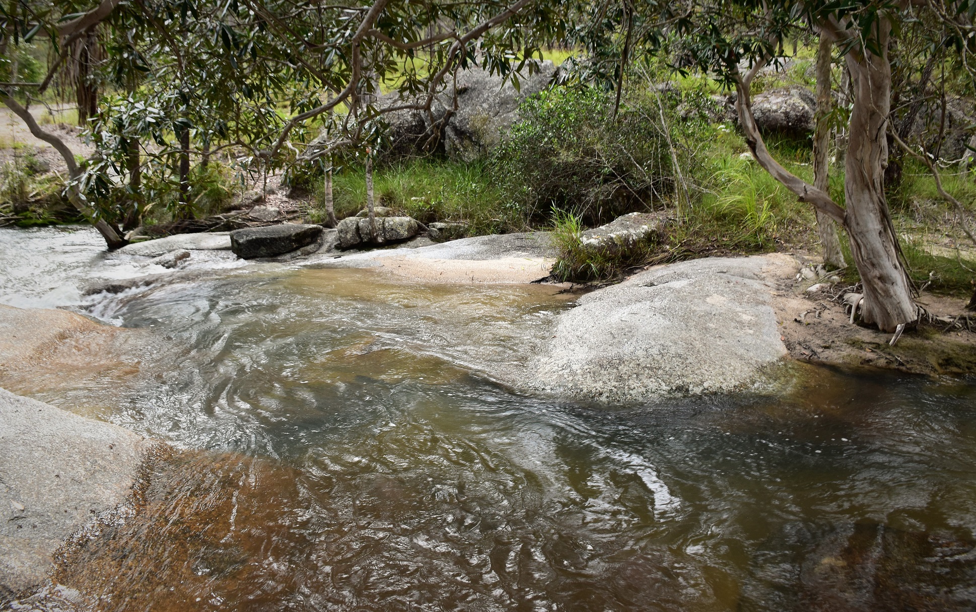
Arriving back down at Davies Creek I had a bit of a ford to negotiate.

It wasn't a wide crossing, however it was pretty deep and fast flowing.
The Dirt.
According to my GPS I walked around 7.2 kilometres and climbed about 382 metres on what I'd call a medium grade stroll (although with one reasonable scramble). This was a really good walk I thought, the forest was in good nick, there were great views, a bit of a challenge with the scramble, clear and obvious tracks and to top it off the walk finished off with a swim in a beautiful, crystal clear tropical mountain stream. I found this walk in the Woodlsane book Best Walk around Cairns & the Tablelands and used my Alltrails App and my GPS topos on the stroll.
Relevant Posts.

Once I'd got everything safely across I stripped off and jumped back in for a refreshing swim.

After following a camping node access track for a few minutes...

... I re-joined the Davies Creek Road and walked the last few metres back up to the ute.


No comments:
Post a Comment