The crux of this short stroll was the crossing of Lawn Hill Creek.
Heading off past the hire canoes - maybe hiring one of these would be another (expensive) option to get across Lawn Hill Creek.
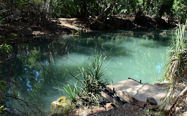
Yep, the bridge was looking a little short!
Boodjamulla National Park.
After passing the concrete stairs for the old bridge Sam and I continued on down Lawn Hill Creek to arrive at some rapids and our possible ford. This was still no easy ford though as the water was flowing over rough limestone rocks and being slightly shallower above the falls it was flowing fairly hard. I decided to tackle it gently stepping from submerged rock to submerged rock, Sam decided to float across. Yes we both got across however Sam had more fun I think, still with my DSLR around my neck swimming wasn’t an option for me.
After passing the old bridge (and leaving the formal track) it was a relatively easy walk downstream along the bank.
We crossed just upstream of these rapids.
It was possible to walk across here, which is what I did with my DSLR. The easier and more enjoyable option was to just float across as the limestone rock under the surface of the water was very uneven and it was a little dodgy walking it.
Once over the creek we started a surprisingly rough walk north towards The Cascades. Lawn Hill Creek splits here with one branch going to the left and one to the right of the Island Stack and the right hand branch has the most water (the branch we forded). Apparently a Tufu Dam got washed away in a flood a few years ago which has dropped the water level here by about a metre which from my Feral observations means that what used to be cascades is now a barely flowing section of pools - still they were nice pools - beneath very nice red cliffs so it was still a pretty enough walk. It also appeared that the national park people may have given up on this stroll as not only was there no bridge, but the track itself was pretty well gone for long sections.
Once on the far side of the creek we soon picked up sections of the walking track network - this is actually on the Wild Dog Dreaming Track (which we weren't walking).
Our track went left and the Island Stack Walk went right, up the steps.
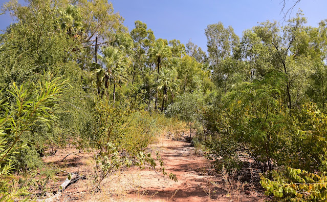
The Cascades Track was almost followable away from the creek...
... although once in the creek's flood zone the track pretty much disappeared.
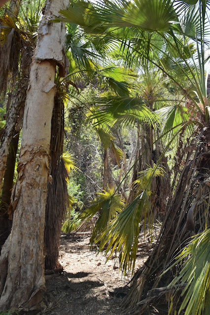
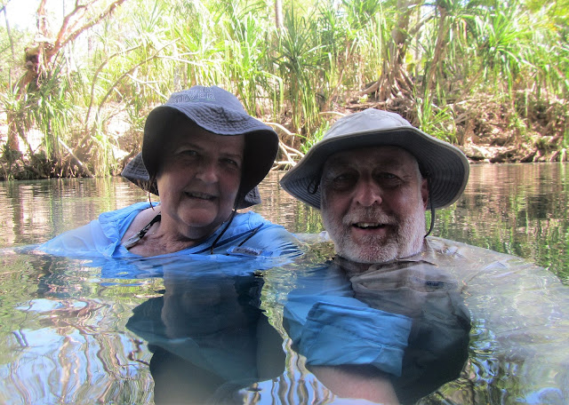
Reaching a nice pool near where the cascades were on my last visit we jumped into the water and enjoyed some more respite from the stifling heat. Floating around a Pandanus lined water hole looking at the red cliffs towering above, life could of been a lot worse. With this walk being a retrace then in theory everything should of been pretty familiar and it was mostly, although we did have to do a bit of freelancing before we eventually picked up the remains of the old track again. After safely negotiating the South Branch of Lawn Hill Creek again we retreated to the shade to spend the rest of our afternoon alternating between floating in the water and sitting under the Pandanus watching the wildlife.
This doesn't look at all crocy does it? Time for a swim then.
It looks a little more inviting from this angle.
It looks like I'm the designated Crocodile test bunny!
Once I'd survived for awhile Sam decided to join me.
It's best not to use sunscreen in these waterholes and creeks - hence the shorts and hats. With the temperature hovering around the mid 30˚ it didn't take long to dry off afterwards.
The Cascade Walk, Boodjamulla National Park.
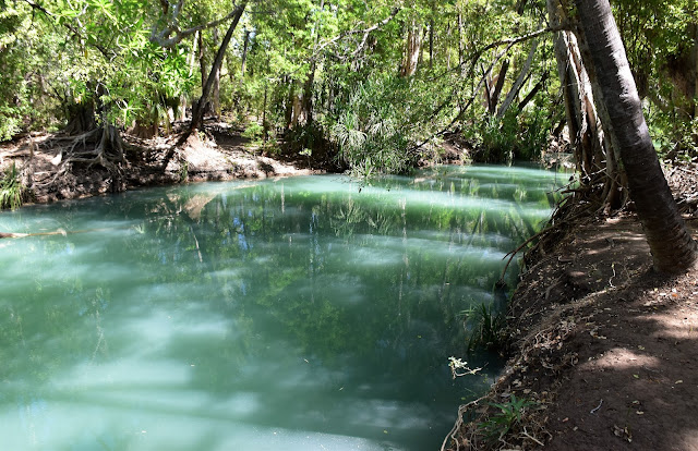
Reflections from our swimming hole.
The Dirt.
According to my GPS we walked around 3 kilometres and climbed about 78 metres on what I’d call an easy-medium grade walk - yes, it’s short however the lack of a bridge and indeed a track in some spots ramps the rating up a little. I'm thinking that when the Queensland Parks people eventually reinstate the bridge (there use to be a floating bridge) over Lawn Hill Creek then they'll also tidy up the tracks on that side of the creek? I used my Alltrails Map and my GPS topos for this stroll and that was all I really needed.
Relevant Posts.







No comments:
Post a Comment