
Vision Falls
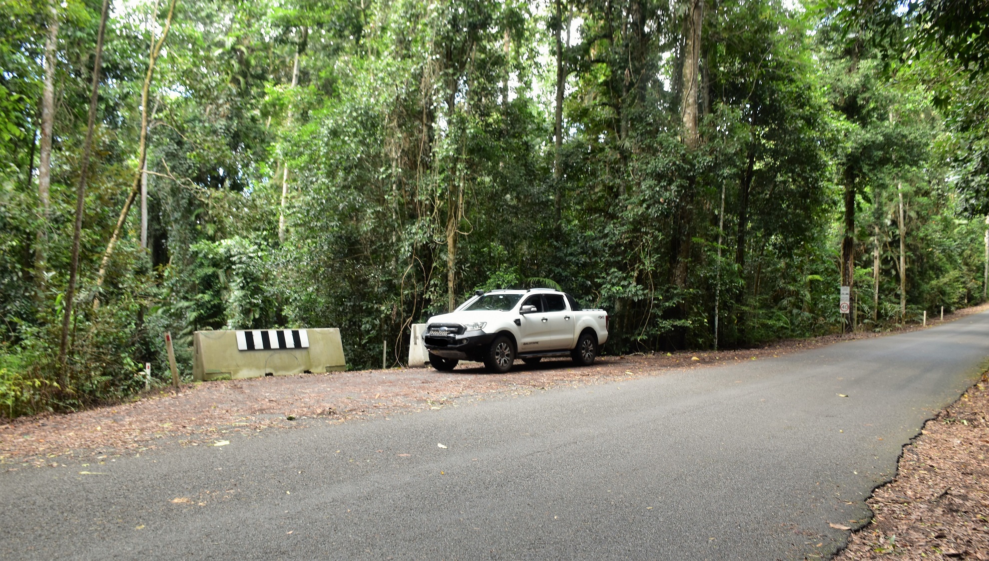
I parked at the end of the closed Wrights Creek Road.

Wrights Creek Road now makes for very nice walking.

The rainforest down here is stunning.

Even though I was walking the old road I still had some Lawyer Vines to contend with.

Just before I reached the closed bridge I swung right onto the walking track.

The walking track started off very civilised...

... as I crossed the top a small waterfall.

Dropping down the old track to Vision Falls.

Vision Falls

Following the rough track down Wrights Creek I passed beneath the waterfall that I crossed over the top of on the way in.

That looks like a track to me.

I picked up about 15 Leeches on this stroll... I wonder why!
So no worries then, I waded in and did indeed find an even rougher track to follow. I was now all the way back down Wrights Creek in the vicinity of the closed road bridge - a fact that was confirmed when I glanced up through the canopy and saw the old bridge above, which is starting to look like some old Inca ruin in the jungle. In even better news there was another waterfall down here, I'll call the falls here Ferntree Falls as it's Ferntree Creek that is plunging down the rock into Wrights Creek. Expecting Harrison Ford to emerge from behind a rock at any minute I continued on my journey, after passing beneath the old bridge my track slowly started to climb and after reaching a switchback I was even climbing in the right direction. Soon after I emerged from the jungle back onto Wrights Creek Road and after checking out the top of the recently discovered Ferntree Falls I shuffled back up to the ute - only stopping to remove about 15 leeches that were now feasting on me!

I named this one Ferntree Falls.

I was on a bit of a Raiders of the lost Ark type of adventure now.

The top of Ferntree Falls has a nice chute flowing down it.

Alright, time to head back to the ute and de-Leech!
The Dirt.
According to my GPS I walked around 1.7 kilometres and climbed about 36 metres on what I'd call an easy-medium grade stroll. The thing with this walk is I suspect that the Qld Parks folk may have given up on it (the fact that it is half a kilometre down an old closed road was a bit of a clue) so I'm thinking that it's only going to get rougher over time (although it is on Alltrails so maybe enough punters will come through to keep the route obvious?). The walk down to Vision Falls is still in good nick, from there on things get rougher to the point that I was knee deep in the water for awhile. I used my Alltrails map and my GPS topos on this stroll.
Relevant Posts.

Climbing back up Wrights Creek Road.

Rainforest in Crater Lakes National Park.

I'm about to arrive back at the ute - Sam is going to really enjoy helping me pull all these Leeches off me I reckon😉

Both my Alltrails App and my Garmin struggled a bit down in the gorge on Wrights Creek.


No comments:
Post a Comment