
I was packed up and on my way pretty early this morning.
After the trauma with the bull ant and then the squealing and banging around of the pigs for the rest of the night, I was not overly upset to wake up early and get on the track this morning. I had a big day ahead of me today, apart from the walk I had a 600 kilometres road trip to meet some friends for dinner. With all that in mind I got up at 5am - packing up and eating brekky while the first light crept over the plains and lit up the cliffs below me.

At least the scenery compensated for my early start.

Right on 6am I started walking, now according to my elevation profile today's walk would be a 'piece of piss', a gentle downhill gradient all the way to the car, however a closer examination of my topo map showed something called the 'Demon's Ridge'! An even closer examination showed that I was going to be climbing up the Demon's Ridge not descending, now both the elevation profile and the topo map couldn't both be right so I had a sneaking suspicion that I'd be doing a bit of climbing after all.

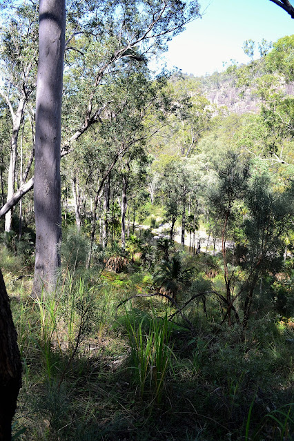
I was dropping down into that valley.
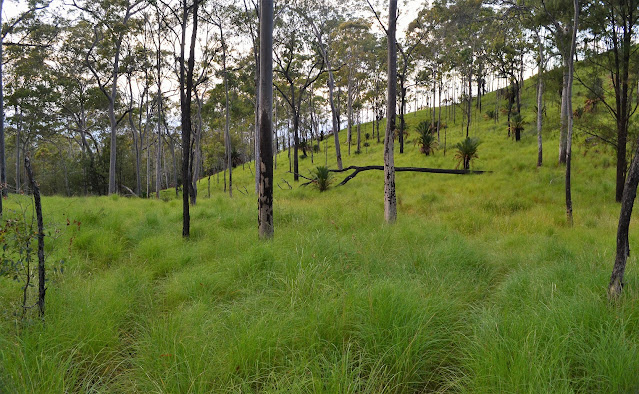
The high and wet grass was making life a little uncomfortable this morning.


Thankfully I had my gaiters on this morning.
Climbing the Demon's Ridge wasn't too bad however as by now my pack was fairly light, behind me was The Ogres Thumb and in front of me was The Devil's Signpost. I think the early explorers were on the same drugs as the person who did the elevation profile on my map! I now did have a gentle descent however as the track kept fairly close to the edge of the escarpment, eventually depositing me onto the tourist track to Boolimba Bluff.


I was slowly making my way across to that bluff.


I'm dropping down to cross either North Arch or South Arch Creeks (hey, it was almost ten years ago!).

Both the creeks had good water in them.

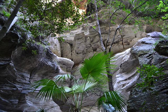
It looked like the track clearers hadn't made it down here.

I now just had the descent off Jimmy's Shelf down to the gorge. Saddled up with my pack I quickly descended hundreds of steps and a couple of ladders as I was keen now to have a shower and get on my way over to Warwick. I passed quite a lot of day walkers puffing their way up the steep track, every time I went past someone I'd get a whiff of perfume or soap, I was hoping that my nose was super sensitive after being in the bush for six days and that there noses weren't quite so sensitive, however I suspect that the main topic of conversation for the day walkers on Boolimba Bluff that day would have been the smelly bloke with the big blue pack! Once in the gorge again I had a short walk to the first creek crossing, hopping across the stepping stones my walk was officially over.
I was about to start climbing again.

This was my last water for the day.


Climbing Demon Ridge.
After signing out with the ranger I grabbed a quick shower and headed off on my drive to Warwick. 600 kilometres in 7.5 hours should have been do able, but I didn't count on the thousands of vehicles in the CSG and mining industry clogging up the Warrego Highway. Last time I was out this way I would go past a vehicle every kilometre or two, however now the highway is one continuous line of road trains and mining vehicles. I was passing twenty vehicles every kilometre. Someone's making a shit load of money out here, lets hope the environment survives the onslaught! An hour late I finally pulled into my friends Paul and Rachel's place at Lake Leslie near Warwick. I had a wonderful night with some great friends, Paul's BBQ and Rachel's mums homemade apple pie going down particularly well after the freeze dried I'd eaten for the last 3 nights.

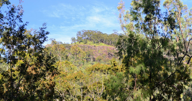
Now I was climbing I started to get some long range views again.


Boolimba Bluff views.


The Dirt.
I walked around 16 kilometres today and climbed about 323 metres on waht I'd call a medium grade days walking. I could of picked up water as I crossed North and South Arch Creeks however I wouldn't rely on them towards the end of the dry season. The track itself was fairly overgrown today although that is probably just due to me passing through very early in the walking season before many others have knocked the grass down. I used the Carnarvon Great walk topo map today - although the elevation profile was way out on the old edidition that I was using.

Looking into the start of Carnarvon Gorge from near Boolimba Bluff.


The track from Boolimba Bluff back to the vistor centre was a class up from a lot of the great walk standard.

I'd left my pack at the great walk junction.
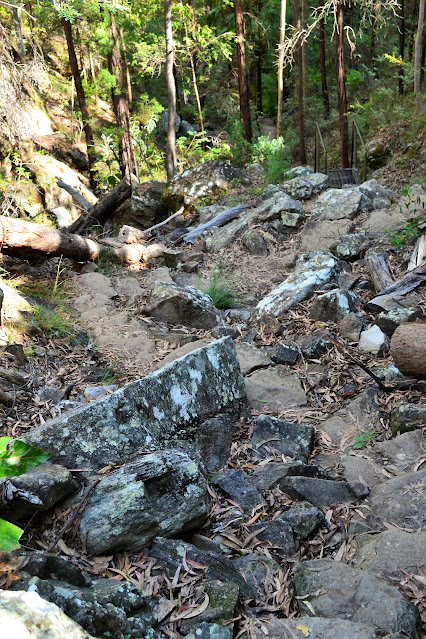
The Boolimba Bluff Track dropping steeply towards Carnarvon Creek.

I carried water for each days walking and filled up at the designated camping area's. I found some flowing water almost every day but I wouldn't rely on that as I was there at the end of their wettest season. As usual I carried a PLB and GPS as well as the Carnarvon Great Walk topo map and a compass. I have the 2009 edition of the map and the elevation profile on my map was way out, its probably been up dated on later editions. Apart from all that its a typical Australian walk, you need to be fully self sufficient with food, shelter and anything else you may need for six days.


Relevant Posts.
I can see Carnarvon Creek through the trees - the descent (and the walk) is almost over!
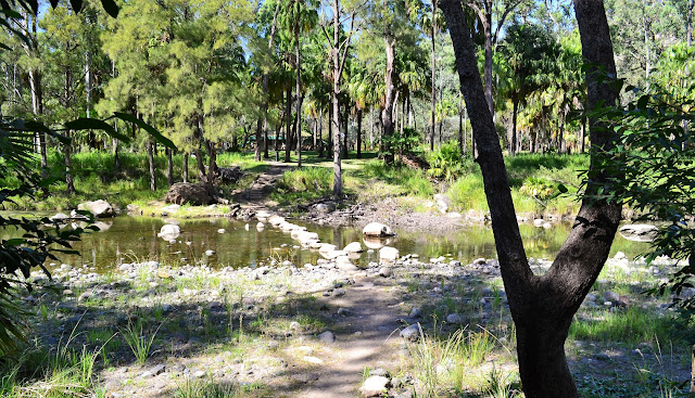
Crossing back over Carnarvon Creek to the visitor centre.

Time for a shower...and then the road trip!


No comments:
Post a Comment