We travelled a long way to get some sunshine and blue sky for this stroll.
We started off by following Spirey Creek up stream.
Belougery Spire.
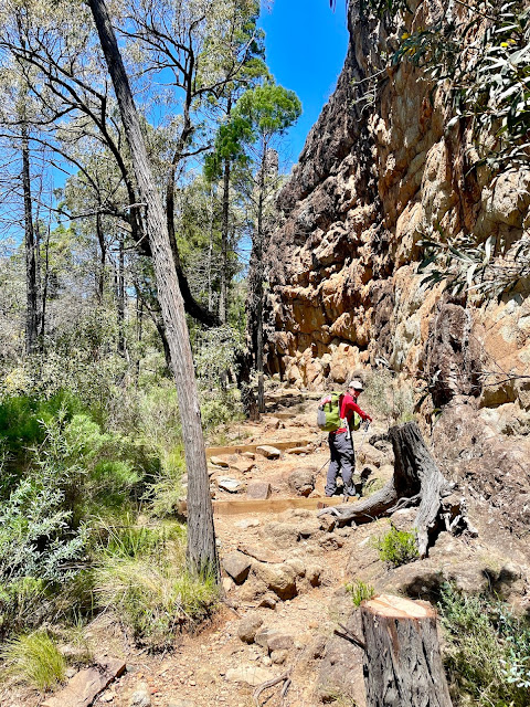
Climbing towards the base of The Breadknife - Jo was running rings around me today.
There was a fair bit of ascent on this stroll.
Looking up towards The Breadknife.
The wattle was breathtaking on this visit.
Looking back towards The Breadknife as we climbed towards The Grand High Tops.
The Grand High Tops.
Belougery Spire from The Grand High Tops.
The Breadknife from The Grand High Tops.
Belougery Spire.
The Grand High Tops.
We dropped our packs at Dows Camp for the side trip up Bluff Mountain.
The summit cairn on Bluff Mountain.
Up on Bluff Mountain - time for a couple of snakes!
The views are pretty extensive from the summit.
Most of the climbing is done for the day so I'm looking pretty happy.
Warrumbungle National Park.
Bluff Mountain towered over our camp tonight.
Our (almost) Ogma Camp.
The mozzies were ferocious on this walk so we were in the tents early.
Hiker midnight is coming on quickly!
The Dirt.
We walked around 14.5 kilometres and climbed around 926 metres on what I'd call a medium grade walk. The walking today was all on track although the standard of the tracks does very from a paved path all the way down to some fairly rocky pads. Water is normally an issue on this stroll with the last fairly reliable water being the tank at Balor Hut near The Breadknife, however after three years of La Niña we found quite a bit of water today - topping up our water bottles for camp at Bluff Creek. Speaking of camp we pulled up at Ogma Camp tonight (we'll actually we stopped in a saddle a 100 metres or so short of Ogma Saddle). One thing about this walk that really surprised me was the number of mozzies out and about - I'm thinking that is to do with all the recent rain and maybe they wouldn't normally be this ferocious, whatever the case don't be like me and make sure you pack some Bushmans or similar. I used my Alltrails Map today.
Relevant Posts.
YouTube Video.


No comments:
Post a Comment