

It was all about the views today😃

I followed the Wilson's Folly Track from the Point Nepean Car Park across to London Bridge.

London Bridge

After checking out London Bridge I followed Farnsworth Track across to Portsea Back Beach.

Walking Portsea Back Beach close to high tide was a bit of a slog.

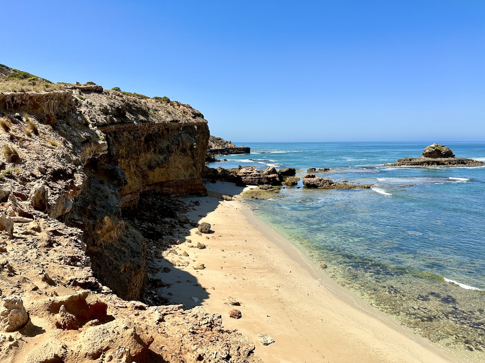
After leaving the beach I was up on the cliff tops for a long time.

Bass Strait was looking good this morning.


Diamond Bay.
I was following Coppins Track now.


Looking down the coast towards my next objective - Montforts Beach.


I enjoyed lunch just past Bridgewater Bay.

My lunch view.

Some of the inland sections can be pretty soft.

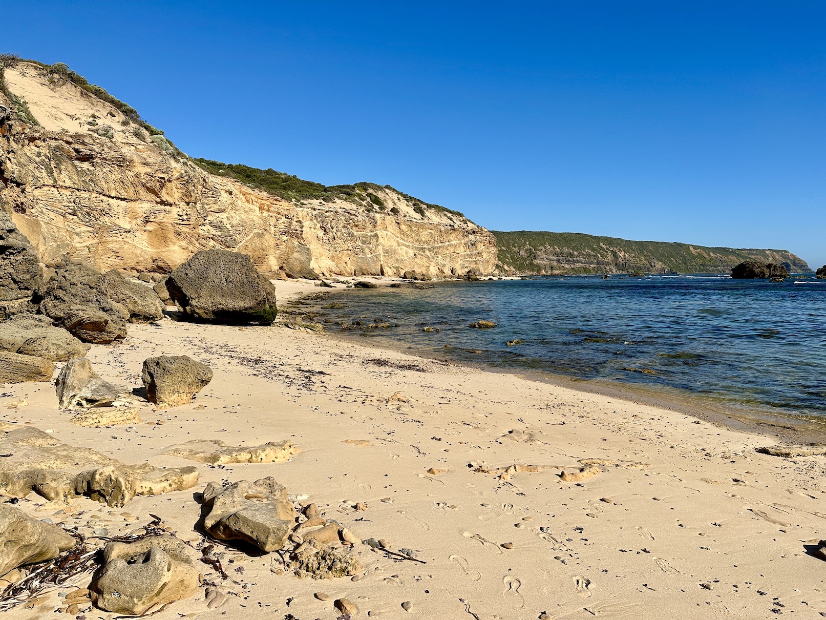
St Andrews Beach.

I didn't take a lot of photos on the beaches as I trudged into a head wind through the soft sand on a 30c afternoon.

On reaching the end of Gunnamatta Beach my mood improved significantly when I jumped in for a quick swim.

Walking the coast between Gunnamatta and Fingal Beaches can be a little rough in spots.

Approaching Fingal Beach. This section of the coastline can't be walked near high tide.


Fingal Beach.

The climb away from Fingal Beach is....solid!

Looking towards Cape Schanck - thank fuck it's getting closer now😂

Looking back along the Mornington Peninsula - I started the day somewhere down there.

Once up on the cliff tops again I enjoyed a little late afternoon shade.

The Cape Schanck Lighthouse Precinct.

Cape Schanck Lighthouse. The moons up - it had been a long day!
The Dirt.
Well, first up I've got to say today was a hard day out... according to my app I walked around 35.3 kilometres and climbed about 479 metres on what I'd call a hard grade walk. The tracks on the walk are all fairly clear and well marked and there aren't any huge hills to negotiate.... what there is though is lots of soft sand to negotiate and also there is limited protection from the elements for long sections. The beaches towards the Cape Schanck end of the stroll are definitely best walked on a lowish tide, so the direction that you do the walk should factor that in. This walk requires a fairly long car shuffle so it's best if you can rope in a friend (or a long suffering partner!), there is no public transport servicing the Cape Schanck Car Park from what I know - the Point Nepean Car Park is on the local bus route. I used my AllTrails App for navigation today, although the walk has also been written up in walking guide books.
Relevant Posts.
YouTube Video.


No comments:
Post a Comment